
Car plates LPU | Seat Puławy Area 933 km² | |
 | ||
Gminas Total 11 (incl. 1 urban)PuławyGmina BaranówGmina JanowiecGmina Kazimierz DolnyGmina KońskowolaGmina KurówGmina MarkuszówGmina NałęczówGmina PuławyGmina WąwolnicaGmina Żyrzyn Points of interest Magiczne Ogrody, Muzeum Nadwiślańskie w Kazimi, Czartoryski Palace, Korzeniowy Dół, Kazimierz Dolny Castle | ||
Puławy County (Polish: powiat puławski) is a unit of territorial administration and local government (powiat) in Lublin Voivodeship, eastern Poland. It was established on January 1, 1999, as a result of the Polish local government reforms passed in 1998. Its administrative seat and largest town is Puławy, which lies 46 kilometres (29 mi) north-west of the regional capital Lublin. The county also contains the towns of Nałęczów, lying 23 km (14 mi) south-east of Puławy, and Kazimierz Dolny, 11 km (7 mi) south of Puławy.
Contents
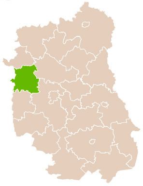
Map of Pu%C5%82awy County, Poland
The county covers an area of 933 square kilometres (360.2 sq mi). In 2006, its total population was 116,829, including 49,839 in Puławy, 4,243 in Nałęczów, 3,572 in Kazimierz Dolny and a rural population of 59,175.
Neighbouring counties
Puławy County is bordered by Ryki County to the north, Lubartów County and Lublin County to the east, Opole Lubelskie County to the south, Zwoleń County to the west, and Kozienice County to the north-west.
Administrative division
The county is subdivided into 11 gminas (one urban, two urban-rural and eight rural). These are listed in the following table, in descending order of population.