
Car plates WKZ | Area 917 km² | |
 | ||
Gminas Total 7Gmina Garbatka-LetniskoGmina GłowaczówGmina GniewoszówGmina Grabów nad PilicąGmina KozieniceGmina MagnuszewGmina Sieciechów Points of interest Skansen bojowy 1 Armii Woj, Rezerwat przyrody Krępiec, Rezerwat przyrody Dęby Bie, Winnica Wieczorków | ||
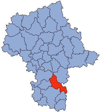
Kozienice County (Polish: powiat kozienicki) is a unit of territorial administration and local government (powiat) in Masovian Voivodeship, east-central Poland. It came into being on January 1, 1999, as a result of the Polish local government reforms passed in 1998. Its administrative seat and only town is Kozienice, which lies 81 kilometres (50 mi) south-east of Warsaw.
Contents
Map of Kozienice County, Poland
The county covers an area of 916.96 square kilometres (354.0 sq mi). As of 2006 its total population is 61,614, out of which the population of Kozienice is 18,541 and the rural population is 43,073.
The county includes part of the protected area called Kozienice Landscape Park.
Neighbouring counties
Kozienice County is bordered by Garwolin County to the north, Ryki County to the east, Puławy County to the south-east, Zwoleń County to the south, Radom County to the south-west, and Białobrzegi County and Grójec County to the west.
Administrative division
The county is subdivided into seven gminas (one urban-rural and six rural). These are listed in the following table, in descending order of population.