
 | ||
Progled Saddle (Bulgarian: седловина Проглед, ‘Sedlovina Progled’ se-dlo-vi-'na 'pro-gled) is the saddle of elevation 2500 m in Ellsworth Mountains, Antarctica connecting Evans Peak to Versinikia Peak on the side ridge that trends 8.8 km from the south rib of Mount Giovinetto on the main crest of north-central Sentinel Range northeastwards to Debren Pass. It is part of the glacial divide between Patton Glacier to the southeast and the head of Rumyana Glacier to the northwest.
Contents
The saddle is named after the settlement of Progled in Southern Bulgaria.
Location
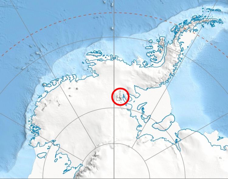
Progled Saddle is located at 78°17′48″S 85°49′22″W, which is 6.08 km east by south of Mount Giovinetto, 4.12 km south-southeast of Goloe Pass, 4.17 km southwest of Debren Pass and 8.2 km north-northwest of Podgore Saddle. US mapping in 1961 and 1988.