
 | ||
Versinikia Peak (Bulgarian: връх Версиникия, ‘Vrah Versinikia’ \'vr&h ver-si-'ni-ki-ya) is the sharp peak in Ellsworth Mountains, Antarctica rising to 2900 m on the side ridge that trends 8.8 km from the south rib of Mount Giovinetto on the main crest of north-central Sentinel Range northeastwards via Evans Peak to Debren Pass. It has partly ice-free west and southeast slopes, and surmounts Patton Glacier to the southeast and the head of Rumyana Glacier to the northwest.
Contents
Map of Versinikia Peak, Antarctica
The peak is named after the medieval fortress of Versinikia in Southeastern Bulgaria.
Location
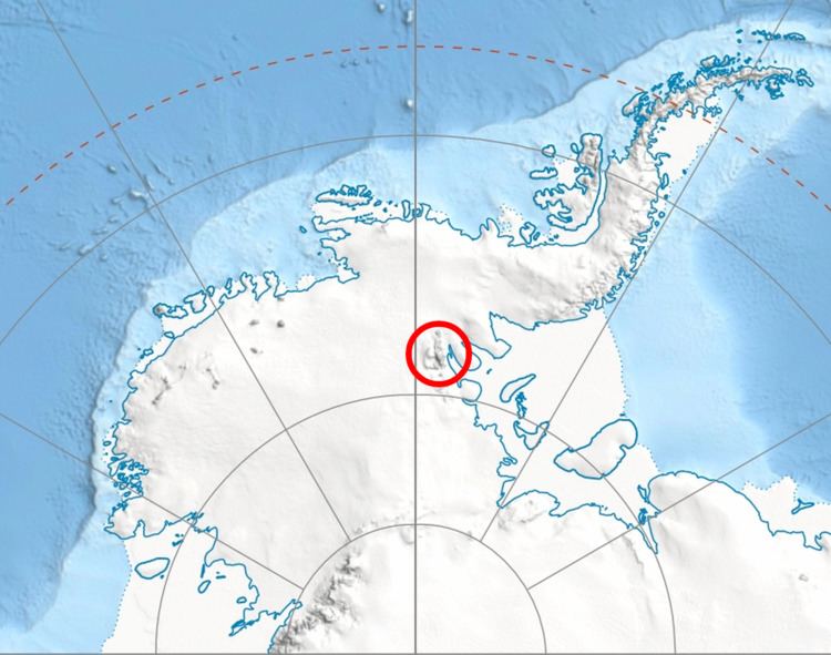
Versinikia Peak is located at 78°17′38″S 85°48′11″W, which is 3.1 km northeast of Evans Peak, 6.5 km east of Mount Giovinetto, 6.6 km southwest of Mount Jumper and 8.53 km northwest of Mount Bearskin. US mapping in 1961 and 1988.