
 | ||
Patton Glacier (78°16′S 85°25′W) is a broad tributary glacier in the Sentinel Range, Ellsworth Mountains. It drains the east slope of the main ridge between Mounts Ostenso and Tyree, flows east-northeastwards between Evans Peak and Versinikia Peak on the north and Mount Bearskin on the south, and enters Ellen Glacier northeast of Zalmoxis Peak and southeast of Mount Jumper.
Contents
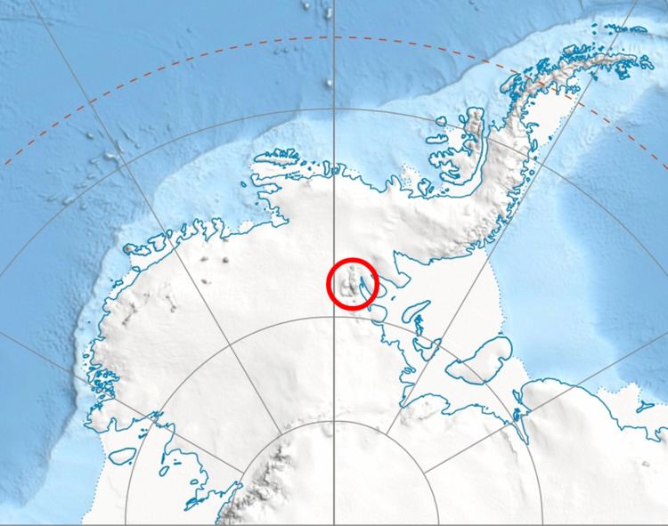
Map of Patton Glacier, Antarctica
The feature was first mapped by the United States Geological Survey (USGS) from surveys and U.S. Navy air photos, 1957-59. It was named by Advisory Committee on Antarctic Names (US-ACAN) for Sgt. Richard J. Patton, United States Air Force (USAF), first ever to parachute land at the South Pole, November 26, 1956. He gave valuable assistance on the ground in directing the air drops from Globemaster aircraft, used in transporting supplies to establish the South Pole Station.
Maps
This article incorporates public domain material from the United States Geological Survey document "Patton Glacier" (content from the Geographic Names Information System).