
Primary inflows Catchment area 2,900 acres (1,200 ha) Max. length 2 mi (3.2 km) Surface elevation 0 cm Length 3.2 km Cities Prien | Primary outflows Calcasieu Ship Channel Max. width 1 mi (1.6 km) Area 4.035 km² Width 1.6 km Inflow source Calcasieu Ship Channel | |
 | ||
Kayak fishing prien lake
Prien Lake is a lake in Calcasieu Parish, Louisiana.
Contents
- Kayak fishing prien lake
- Map of Prien Lake Louisiana USA
- Prien lake pelicans know best
- HistoryEdit
- CharacteristicsEdit
- References
Map of Prien Lake, Louisiana, USA
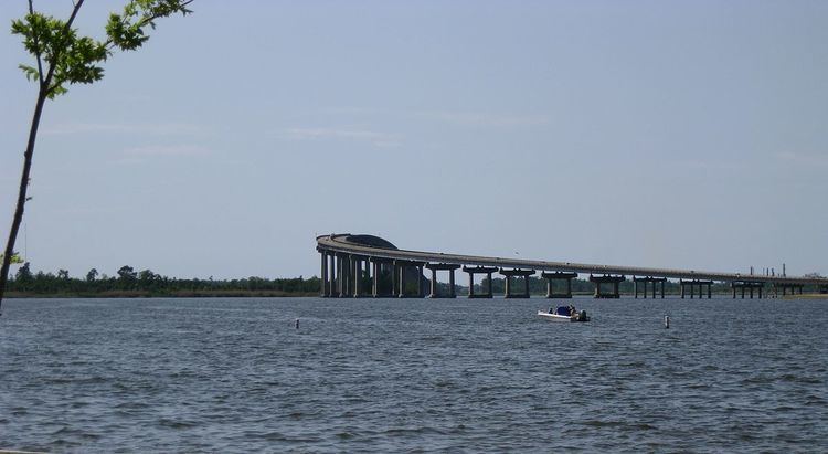
It is located west of Prien, Louisiana, and south of the Israel LaFleur Bridge. The city of Lake Charles is located to the northeast.
Prien lake pelicans know best
HistoryEdit
Prien Lake was historically located along the Calcasieu River. Construction of the Calcasieu Ship Channel was completed in 1941, and included the construction of the Rose Bluff Cutoff, northwest of Prien Lake. The cufoff enabled a more efficient navigational route, and isolated Prien Lake from the direct flow of the river.
Prien Lake connects to the Calcasieu Ship Channel at three places on the north and west sides of the lake.
CharacteristicsEdit
Development within the Prien Lake watershed is 36 percent commercial or residential, and 5 percent industrial.
The lake has several wetlands which are considered sensitive environments.
The lake's designated uses, according to the Louisiana Department of Environmental Quality, are recreation, and the propagation of fish and wildlife. Prien Lake supports both recreational and commercial fishing, and fish species include croaker, redfish, speckled trout, flounder, and black drum.
Two public parks provide access to Prien Lake. Prien Lake Park has a public boat launch, parking, and picnic areas. LaFleur Park has a boat launch, beach for swimming, parking, and picnic areas.