
Vehicle registration ΙΝ | Time zone EET (UTC+2) Local time Saturday 11:35 PM | |
 | ||
Weather 9°C, Wind N at 3 km/h, 78% Humidity | ||
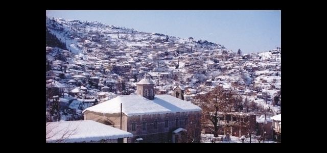
Pramanta (Greek: Πράμαντα) is a village and a former municipality in the Ioannina regional unit, Epirus, Greece. Since the 2011 local government reform it is part of the municipality North Tzoumerka, of which it is a municipal unit. In 2011 its population was 1,137 for the town, 1,527 for the community and 1,774 for the municipal unit. The municipal unit has an area of 69.058 km2, the community 39.435 km2. Pramanta is situated in the Athamanika mountains, at about 840m elevation. It is 4 km west of Melissourgoi, 6 km north of Agnanta, 6 km south of Prosilio, 65 km southeast of Ioannina, 70km north east of Arta and 28 km south of Metsovo.
Contents
Map of Pramanta 440 01, Greece
Subdivisions
The municipal unit Pramanta is subdivided into the following communities (constituent villages in brackets):
Attractions
Pramanta is a village with a natural beauty. In the central square one can view the known perennial plane tree, the historic fountain called "Arapis" and the central church of the village, Agia Paraskevi. Close to Pramanta you may also find the cave "Anemotrypa" and the mountain retreat in the place "Isioma".