
Vehicle registration ΙΝ Local time Sunday 1:40 PM | Time zone EET (UTC+2) Area 361.5 km² | |
 | ||
Weather 14°C, Wind W at 11 km/h, 56% Humidity Points of interest Plaka Bridge, Kipina Monastery, Lakmos | ||
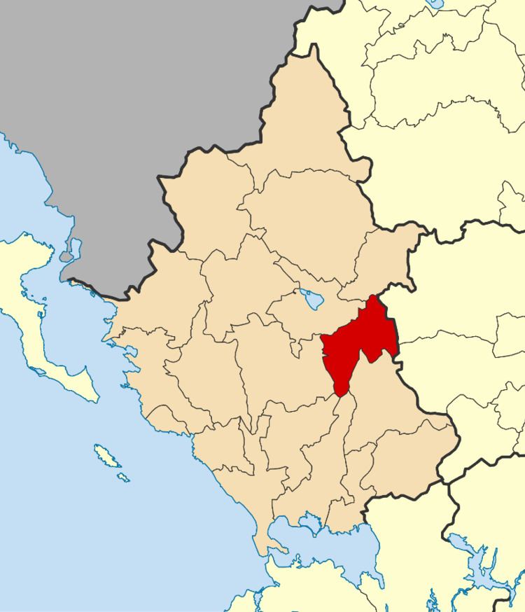
North Tzoumerka (Greek: Βόρεια Τζουμέρκα) is a municipality in the Ioannina regional unit, Epirus, Greece. The seat of the municipality is the village Pramanta. The municipality has an area of 358.334 km2. The municipality is named after the Tzoumerka mountains.
Contents
Map of Voria Tzoumerka, Greece
Municipality
The municipality North Tzoumerka was formed at the 2011 local government reform by the merger of the following 7 former municipalities, that became municipal units:
References
North Tzoumerka Wikipedia(Text) CC BY-SA