
Country United States Time zone CST (UTC-6) Elevation 171 m Population 2,257 (2010) | Established November 7, 1854 ZIP codes 62423, 62441 Area 189.4 km² Local time Thursday 11:18 AM | |
 | ||
Weather 8°C, Wind NW at 37 km/h, 71% Humidity | ||
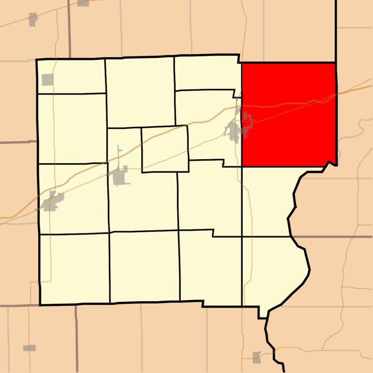
Wabash Township is one of fifteen townships in Clark County, Illinois, USA. As of the 2010 census, its population was 2,257 and it contained 1,033 housing units.
Contents
- Map of Wabash Township IL USA
- Geography
- Cities towns villages
- Unincorporated towns
- Cemeteries
- Major highways
- Airports and landing strips
- School districts
- Political districts
- References
Map of Wabash Township, IL, USA
Geography
According to the 2010 census, the township has a total area of 73.13 square miles (189.4 km2), of which 73 square miles (190 km2) (or 99.82%) is land and 0.14 square miles (0.36 km2) (or 0.19%) is water.
Cities, towns, villages
Unincorporated towns
(This list is based on USGS data and may include former settlements.)
Cemeteries
The township contains these eleven cemeteries: Asbury, Big Creek, Black, Cumberland, Dean, Dennison, Farris, Liffick, Livingston, Mackey and Thompson.
Major highways
Airports and landing strips
School districts
Political districts
References
Wabash Township, Clark County, Illinois Wikipedia(Text) CC BY-SA