
Country United States Elevation 449 ft (137 m) Local time Sunday 4:12 AM Population 551 (2010) | Established November 7, 1854 Time zone CST (UTC-6) Zip code 62477 | |
 | ||
Weather 12°C, Wind S at 14 km/h, 54% Humidity | ||
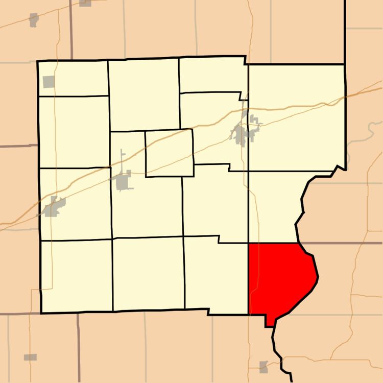
York Township is one of fifteen townships in Clark County, Illinois, USA. As of the 2010 census, its population was 551 and it contained 270 housing units.
Contents
- Map of York Township IL 62477 USA
- Geography
- Unincorporated towns
- Cemeteries
- Major highways
- Rivers
- Landmarks
- School districts
- Political districts
- References
Map of York Township, IL 62477, USA
Geography
According to the 2010 census, the township has a total area of 31.83 square miles (82.4 km2), of which 31.27 square miles (81.0 km2) (or 98.24%) is land and 0.56 square miles (1.5 km2) (or 1.76%) is water.
Unincorporated towns
(This list is based on USGS data and may include former settlements.)
Cemeteries
The township contains these five cemeteries: Harrison, Hogue, Shawler, Walnut Prairie and York.
Major highways
Rivers
Landmarks
School districts
Political districts
References
York Township, Clark County, Illinois Wikipedia(Text) CC BY-SA