
- right Foster Creek Mouth Bass Strait | - location west of Wonthaggi Mouth elevation 0 | |
 | ||
- location near Ellerside, north of Inverloch | ||
Powlett river caravan park desalination plant
The Powlett River is a perennial river of the Western Port catchment, located in the West Gippsland region of the Australian state of Victoria.
Contents
- Powlett river caravan park desalination plant
- Map of Powlett River Victoria Australia
- A day at the powlett river
- Location and features
- Etymology
- References
Map of Powlett River, Victoria, Australia
A day at the powlett river
Location and features
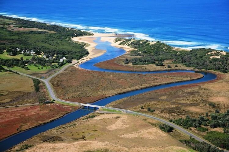
The Powlett River rises on the southern slopes of the Strzelecki Ranges, near Ellerside, north of Inverloch, and flows generally west, joined by one minor tributary, before reaching its mouth within Bass Strait, west of Wonthaggi, within the Shire of Bass Coast. The river descends 40 metres (130 ft) over its 27 kilometres (17 mi) course.
The river is traversed by the Bass Highway between Daylston and Wonthaggi.
Etymology
In the Australian Aboriginal Boonwurrung language the name for the river is Kugerungmome, with no clearly defined meaning.
The river was named in 1840 in honour of Frederick Powlett, the Commissioner of the Western Port District.