
Established 1999 Time zone ACST (UTC+9:30) Kainton /Kulpara Port Arthur Postal code 5552 | Postcode(s) 5552 State electorate(s) Goyder Founded 1999 Federal division Division of Wakefield | |
 | ||
Location 100 km (62 mi) NW of Adelaide city centre9 km (6 mi) NW of Port Wakefield | ||
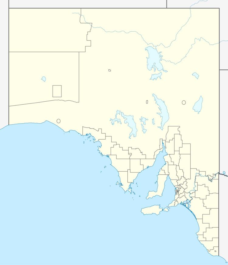
Port Arthur is a locality in the state of South Australia located on the Yorke Peninsula at the northern end of Gulf St Vincent about 100 kilometres (62 mi) north west of the state capital of Adelaide and about 9 kilometres (5.6 mi) north of the town of Port Wakefield.
Map of Port Arthur SA 5552, Australia
Its boundaries were created in May 1999 for the "long established name." Port Arthur was used from 1861 to 1863 as a minor port for an enterprise moving passengers between Port Adelaide and the towns of Moonta and Wallaroo using the steam tug, Eleanor, and coach services operated by both "Mr Opie's Horse Conveyances" and W. Rounsevell.
Port Arthur is located within the federal Division of Grey, the state electoral district of Goyder and the local government area of the Yorke Peninsula Council.