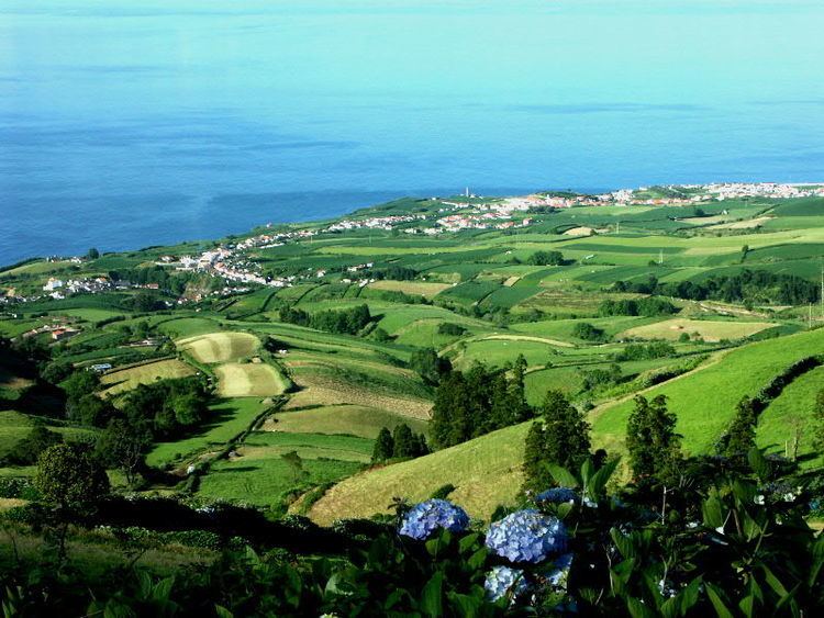
- location Atlantic Ocean - location Rua da Igreja Elevation 123 m Urban area 109 ha | - water 0.01 km (0 sq mi) Area 31.38 km² | |
 | ||
Harlem shake original azores made in ponta gar a
Ponta Garça is a civil parish in the municipality of Vila Franca do Campo in the Portuguese archipelago of the Azores. The population in 2011 was 3,547, in an area of 29.35 km². It is the largest parish in Vila Franca do Campo.
Contents
- Harlem shake original azores made in ponta gar a
- Map of Ponta Garca Portugal
- History
- Geography
- Economy
- Civic
- Religious
- References
Map of Ponta Garca, Portugal
History
Gaspar Frutuoso indicated that the origin of its toponymy was connected with the first settlers' reflections on sighting this zone. On the other hand, the local civil parish council claims that the area was named for the preponderance of marine birds, that nest on the cliffs of the parish.
The civil parish was first designated in the 16th century, likely owing to the communities growth and access to potable water.
Geography
The parish is located along the main regional roadway that links Lagoa and Ponta Delgada with the eastern part of the island. It is situated in the eastern part of Vila Franca do Campo.
Ponta Garça has 3 elementary schools, and a church.
Economy
The main industry are agriculture and manufacturing.
