PIN 686506 Literacy 99.8% Population 26,121 (2012) | Time zone IST (UTC+5:30) Telephone code 04828 Area code 04828 Local time Friday 1:33 AM | |
 | ||
Weather 26°C, Wind SE at 0 km/h, 82% Humidity | ||
Ponkunnam (Malayalam: പൊന്കുന്നം) is a census town in the eastern high-ranges of Kerala, India, part of Kottayam district under Kanjirappally Taluk. Ponkunnam literally means 'The Town on a Golden Mountain' (Ponn = Gold, Kunn = Mountain). Nearby towns are Kanjirappally, Manimala and Pala. This part of Kerala is famous for its fertile land and rubber plantations. It is at an altitude of 495 feet above mean sea level. The town is at the junction of two majour roads in Kerala: NH220 and main eastern highway. The climate is moderate with timely cold breezes; the town is the gateway to the eastern high ranges.
Contents
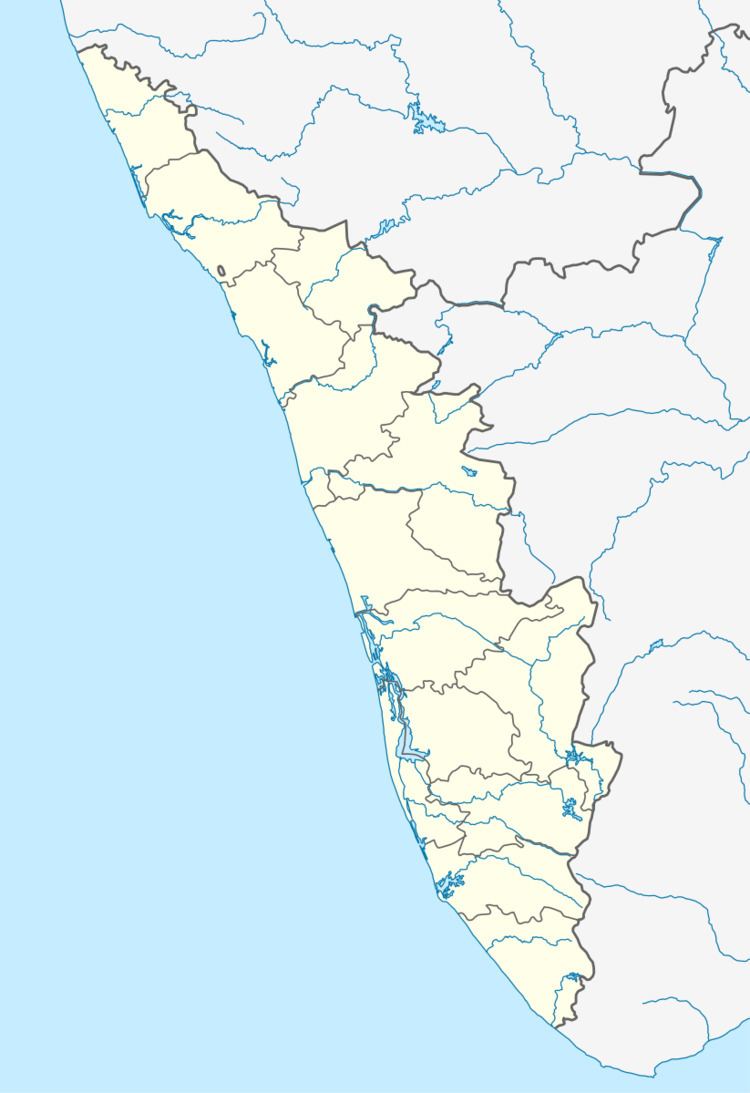
Map of Ponkunnam, Kerala
Overview
Ponkunnam is one of the busiest towns along the NH 220 comprising key administrative institutions of kanjirappally taluk such as the Ponkunnam court complex, DySP office, and RT office. It is a part of Kanjirappaly constituency (state) and pathanamthittaLA. The town is also a home to many educational institutions and health care facilities.
Religious places
Notable persons
Road
Here, there is one KSRTC Bus stand and one private bus stand. Daily, there are many buses to Kottayam, Changanassery, Kochi, Thiruvananthapuram, Thrissur, Kozhikode , Banglore and also to the nearest cities Kanjirappally, Erumely etc.. KSRTC operates a chain service to Pala. KSRTC also operates a chain service from Kottayam to Kumily via Ponkunnam.
Railway
The nearest railway stations are Kottayam (33 km) and Changanassery (38 km).
Air
The nearest airport is Cochin International Airport, Kochi (94 km).
