
Country Languages spoken Malayalam, English | State District | |
Manimala is an area in the Kottayam district of Kerala in India. It is situated about 12 kilometers away from the nearest town Kanjirappally.
Contents
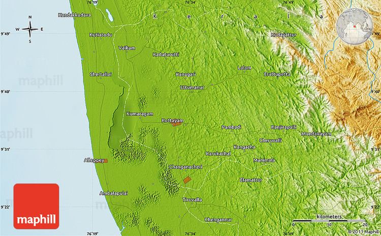
- Map of Manimala
- Driving from manimala to chamampathal kodungoor manimala road kerala india
- Geography
- References
Map of Manimala
Driving from manimala to chamampathal kodungoor manimala road kerala india
Geography
The River Manimala is 92 km long and is a tributary of the River Pamba. The area is mostly hilly. Kuranganmala, Varukunnu,Poovatholymala etc. are the important hills.Ponthenpuzha forest separates the viillage from Pathanamthitta district.
Manimala is acclaimed for its high literacy rate and access to primary and secondary education facilities within walking distance. There are mainly three high schools within two kilometers from Manimala town center. In recent years the schools have undergone significant modernization with the installation of state of the art facilities such as IT and science labs. The village boasts hundred percent literacy rate. Girls are generally high achievers than boys at schools and universities. The people from all religions, mostly Syrian Christians, Hindus and Muslims live in harmony and peace in this village.
The village has many commercial banks such as Catholic Syrian Bank, Federal Bank ltd, Co-Operative Bank,and government owned State Bank of Travelcore. Access to modern health care is also possible through village based Primary Heath Centre and other seven modern hospitals within 16 kilometers.
Manimala has access to all major cities and inter national airports in Kerala through roadways. The nearest railway stations are at Kottayam,(district capital) and Changanacherry.
The river Manimala and the Manimala bridge are the two nostalgic signs to the people of Manimala who are living abroad.