
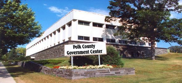
Named for James Knox Polk Population 31,569 (2013) | Area 5,175 km² Unemployment rate 4.4% (Apr 2015) | |
 | ||
Founded July 20, 1858 (created)1872 (organized) Points of interest Sherlock Park, Lafave Park, Rydell National Wildlife R, Polk Co Fair Office, Polk County Historical | ||
Polk County is a county located in the U.S. state of Minnesota. The population was 31,600 at the 2010 census. Its county seat is Crookston, and the largest community is East Grand Forks.
Contents
- Map of Polk County MN USA
- History
- Geography
- Major highways
- National protected areas
- Demographics
- Unincorporated communities
- References
Map of Polk County, MN, USA
Polk County is included in the Grand Forks, ND-MN Metropolitan Statistical Area.
History
Polk county was named after the country's 11th president, James K. Polk, who on March 3, 1849, signed the Congressional act organizing the Minnesota Territory. The county was formed on July 20, 1858 and formally organized in 1872-73.
Geography
According to the U.S. Census Bureau, the county has a total area of 1,998 square miles (5,170 km2), of which 1,971 square miles (5,100 km2) is land and 27 square miles (70 km2) (1.3%) is water.
Major highways
National protected areas
Demographics
As of the census of 2000, there were 31,369 people, 12,070 households, and 8,050 families residing in the county. The population density was 16 people per square mile (6/km²). There were 14,008 housing units at an average density of 7 per square mile (3/km²). The racial makeup of the county was 94.18% White, 0.33% Black or African American, 1.30% Native American, 0.30% Asian, 0.02% Pacific Islander, 2.57% from other races, and 1.30% from two or more races. 4.79% of the population were Hispanic or Latino of any race. 41.7% were of Norwegian, 19.7% German and 5.8% French ancestry.
There were 12,070 households out of which 32.30% had children under the age of 18 living with them, 54.90% were married couples living together, 8.50% had a female householder with no husband present, and 33.30% were non-families. 28.90% of all households were made up of individuals and 13.80% had someone living alone who was 65 years of age or older. The average household size was 2.47 and the average family size was 3.07.
In the county, the population was spread out with 25.90% under the age of 18, 9.70% from 18 to 24, 24.80% from 25 to 44, 22.20% from 45 to 64, and 17.40% who were 65 years of age or older. The median age was 38 years. For every 100 females there were 98.10 males. For every 100 females age 18 and over, there were 95.50 males.
The median income for a household in the county was $35,105, and the median income for a family was $44,310. Males had a median income of $31,472 versus $21,535 for females. The per capita income for the county was $17,279. About 7.30% of families and 10.90% of the population were below the poverty line, including 13.30% of those under age 18 and 10.90% of those age 65 or over.