
District Saran Elevation 36 m Population 4,254 (2011) | Time zone IST (UTC+5:30) Local time Thursday 12:48 AM ISO 3166 code ISO 3166-2:IN | |
 | ||
Weather 23°C, Wind E at 6 km/h, 66% Humidity | ||
Pojhi Kapoor (Hindi: पोझी कपूर Urdu: پوجھ بجرگ / کپور ) is a village and part of Bhualpur Panchayat of Saran district, Bihar, India.
Contents
- Map of Pojhi Kapoor Bihar
- Geography
- Location
- Development Works
- Demographics
- Pojhi Kapoor and Pojhi Buzurg
- Healthcare Facilities
- Schools
- Notable personalities
- References
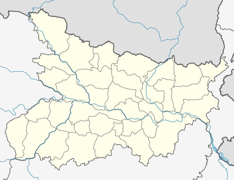
Map of Pojhi Kapoor, Bihar
Geography
Pojhi Kapoor is located at 25.87°N 84.85°E / 25.87; 84.85. It has an average elevation of 36 metres.
Location
Pojhi Kapoor(Postal Code:841415) is about 15 km from district headquarters Chhapra.It falls under Bhualur Panchayat of Saran district .Garkha is nearest city.The village is well-connected by roads in all seasons. The nearest railway station is Chhapra and the nearest airport is Lok Nayak Jayaprakash Airport, Patna.
Development Works
Demographics
As of 2011 India census, Pojhi Kapoor had a population of 4254. Males constitute 55% of the population and females 45%.Due to lack of employment and agriculture becoming less attractive , Lots of youth migrates every year to other state in search of jobs.
Pojhi Kapoor and Pojhi Buzurg
This Village has been historically divided in two parts. Western part of Pojhi is Known as Pojhi Kapoor and eastern part of Village is known as Pojhi Buzurg.
Healthcare & Facilities
Schools
Pojhi Kapoor has three primary schools and one Higher Secondary School specially for girls affiliated to Bihar School Examination Board.