
Population 0 | ||
 | ||
Pogledets Island (Bulgarian: остров Погледец, ‘Ostrov Pogledets’ \'os-trov 'po-gle-dets) is the northernmost of Dunbar Islands off Varna Peninsula, Livingston Island in the South Shetland Islands. The feature is ice-free, crescent shaped facing southwest, and extending 200 m in north-south direction and 170 m in east-west direction. The area was visited by early 19th century sealers.
Contents
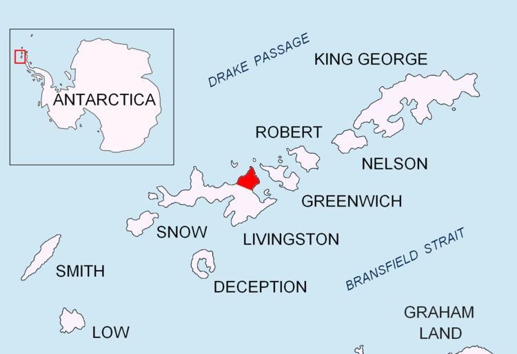
Map of Pogledets Island, Antarctica
The island is named after Pogledets Peak in Rila Mountain and its namesake in Stara Planina, Bulgaria.
Location
Pogledets Island is located at 62°27′39.7″S 60°09′30″W, which is 860 m northeast of Zavala Island, 450 m northwest of Aspis Island and 1.45 km southwest of Williams Point, Livingston Island. British mapping in 1968 and Bulgarian mapping in 2009.
Maps
References
Pogledets Island Wikipedia(Text) CC BY-SA