
Airport type Public 15/33 3,999 Elevation 312 m | Owner City of Platteville Elevation AMSL 1,024 ft / 312 m 3,999 1,219 Phone +1 608-348-3582 | |
 | ||
Address 5157 State Rd 80, Platteville, WI 53818, USA Similar University of Wisconsi, Platteville Family Aquatic C, Dubuque Regional Airport, Blain's Farm & Fleet, Platteville High School | ||
Landing at platteville municipal airport
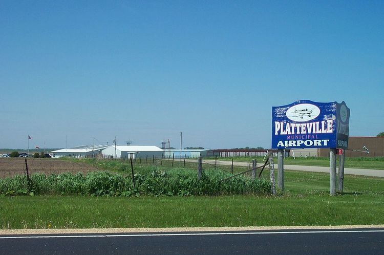
Platteville Municipal Airport (ICAO: KPVB, FAA LID: PVB) is a city owned public use airport located three nautical miles (6 km) southeast of the central business district of Platteville, a city in Grant County, Wisconsin, United States. It is included in the Federal Aviation Administration (FAA) National Plan of Integrated Airport Systems for 2017–2021, in which it is categorized as a local general aviation facility.
Contents
Although most U.S. airports use the same three-letter location identifier for the FAA and IATA, this airport is assigned PVB by the FAA but has no designation from the IATA.
Facilities and aircraft
Platteville Municipal Airport covers an area of 533 acres (216 ha) at an elevation of 1,024 feet (312 m) above mean sea level. It has two asphalt paved runways: 15/33 is 3,999 by 75 feet (1,219 x 23 m); 7/25 is 3,599 by 75 feet (1,097 x 23 m).
A Non-directional beacon was located at the facility, 203 kHz, ident PVB. However, the NDB was decommissioned in 2011.
Fixed-base operator: A&A Aviation
For the 12-month period ending June 2, 2015, the airport had 20,550 aircraft operations, an average of 56 per day: 97% general aviation, 3% air taxi and <1% military. In March 2017, there were 30 aircraft based at this airport: 26 single-engine, 2 multi-engine and 2 helicopter.