
Population 0 | ||
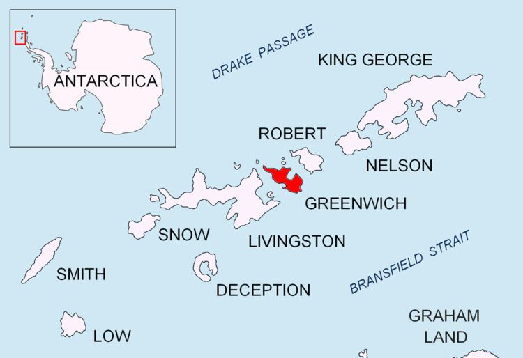 | ||
Pisanitsa Island (Bulgarian: остров Писаница, ‘Ostrov Pisanitsa’ \'os-trov 'pi-sa-ni-tsa) is the rocky island in the Meade group off Archar Peninsula, the northwest extremity of Greenwich Island in the South Shetland Islands extending 270 m in southwest-northeast direction and 60 m wide. The area was visited by early 19th century sealers.
Contents
Map of Pisanitsa Island, Antarctica
The island is named after the settlement of Pisanitsa in Southern Bulgaria.
Location
Pisanitsa Island is located at 62°26′48″S 60°03′14.5″W, which is 1.26 km west by north of Duff Point, 120 m northeast of Cave Island and 3.6 km southeast of Pyramid Island. British mapping in 1968 and Bulgarian mapping in 2009.
Maps
References
Pisanitsa Island Wikipedia(Text) CC BY-SA