
 | ||
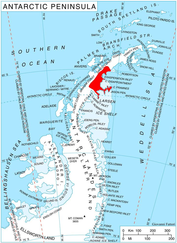
Pirgos Peak (Bulgarian: връх Пиргос, ‘Vrah Pirgos’ \'vr&h 'pir-gos) is the rocky peak rising to 850 m in Austa Ridge on Oscar II Coast in Graham Land surmounting Borima Bay to the north, and Veselie Glacier to the south. The feature is named after the ancient town of Pirgos in Southeastern Bulgaria.
Contents
Map of Pirgos Peak, Antarctica
Location
Pirgos Peak is located at 65°14′23″S 62°07′10″W, which is 3.83 km east of Humar Peak, 4.82 km south of Furen Point, 5.63 km northwest of Caution Point, and 6.08 km north-northeast of Mount Birks. British mapping in 1976.
Maps
References
Pirgos Peak Wikipedia(Text) CC BY-SA