
 | ||
Humar Peak (Bulgarian: връх Хумар, ‘Vrah Humar’ \'vr&h hu-'mar) is the rocky peak rising to 1300 m in Austa Ridge on Oscar II Coast in Graham Land, and surmounting Jorum Glacier to the north, and Veselie Glacier to the south. The feature is named after the Bulgar town of Humar in Northern Caucasus in 2nd-7th century.
Contents
Map of Humar Peak, Antarctica
Location
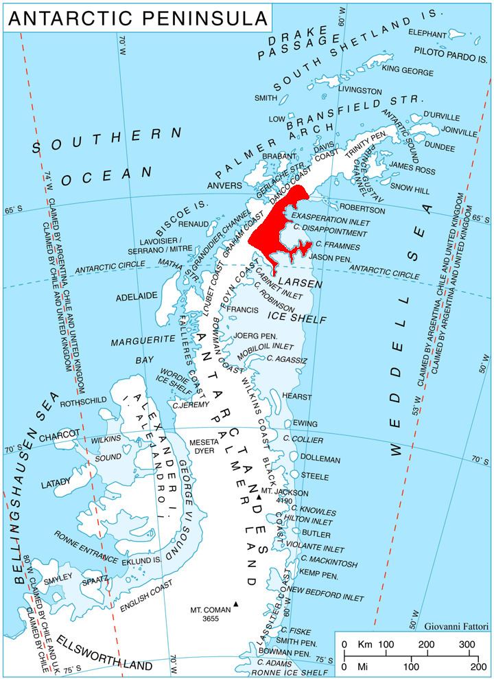
Humar Peak is located at 65°14′36″S 62°12′03″W, which is 5.9 km south-southwest of Yordanov Nunatak, 9.14 km west of Caution Point, and 5.5 km north-northwest of Mount Birks. British mapping in 1976.
Maps
References
Humar Peak Wikipedia(Text) CC BY-SA