
 | ||
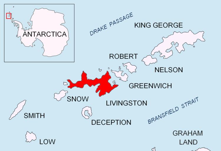
Pirámide Peak is a sharp rocky peak rising to 366 m at the southeast edge of Hurd Ice Cap on Hurd Peninsula, Livingston Island in the South Shetland Islands, Antarctica and surmounting False Bay to the southeast.
Contents
The peak is descriptively named by personnel of the nearby Spanish base Juan Carlos Primero and appears in the 2009 Bulgarian map of Livingston Island.
Location
The peak is located at 62°41′20.6″S 60°21′42.5″W which is 710 m south-southeast of Dorotea Point, 2.33 km south-southeast of Mount Reina Sofía, 1.41 km southwest of Mirador Hill, 930 m west of Moores Peak, 430 m northwest of Svelten Peak, 4.42 km north-northwest of Canetti Peak, 4.49 km northeast of Binn Peak and 1.31 km west-southwest of Castellvi Peak (Spanish mapping in 1991 and Bulgarian in 2009).