
Elevation 3,208 m | Topo map USGS Star Hope Mine Prominence 154 m | |
 | ||
Similar Standhope Peak, Devils Bedstead East, Hyndman Peak, Bald Mountain | ||
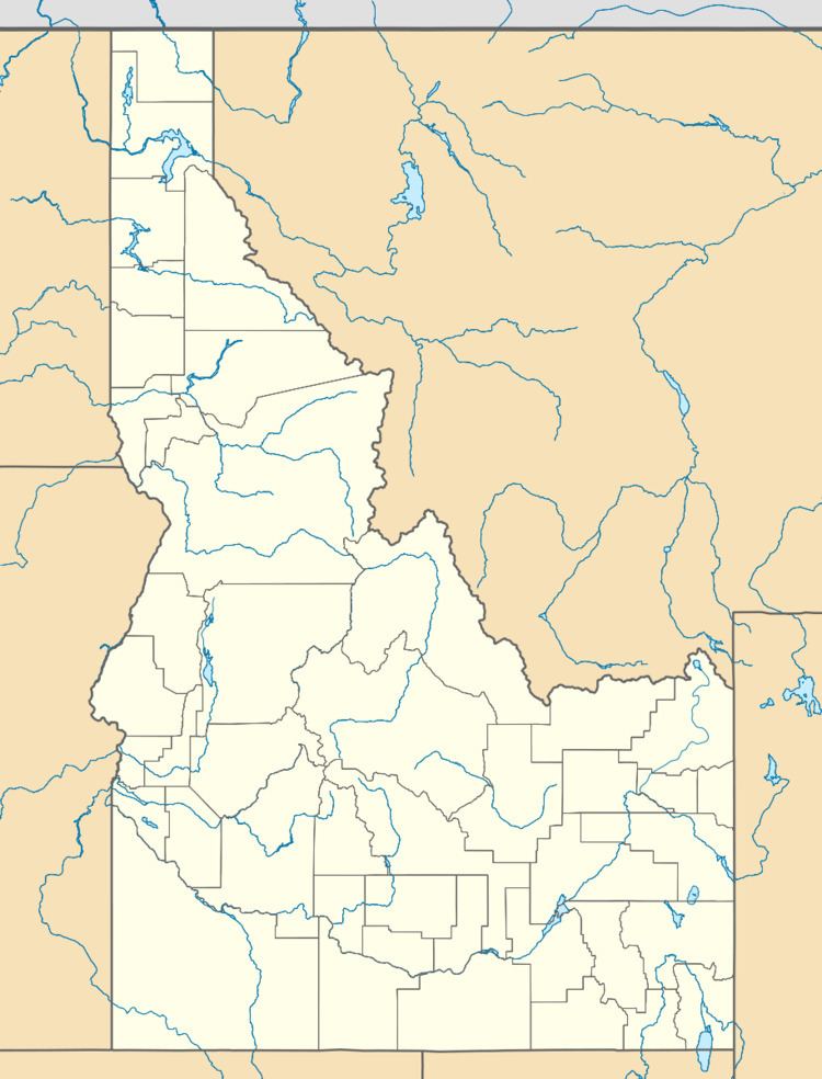
Pioneer Mountain at 10,525 feet (3,208 m) high is a peak in the Pioneer Mountains on the border of Blaine and Custer counties in Idaho. The peak is also located on the border of Sawtooth and Salmon-Challis National Forests. The isolation of Pioneer Mountain is 1.47 miles (2.37 km). The southern and western slopes of the peak are drained by tributaries of Muldoon Creek, which as a tributary of the Little Wood River. The northern and eastern slopes are drained by tributaries of Star Hope Creek, which is a tributary of the Big Lost River.
Map of Pioneer Mountain, Idaho 83320, USA
References
Pioneer Mountain (Idaho) Wikipedia(Text) CC BY-SA