
Country China Population 454,996 (2000) | Area 11,196.71 km2 | |
 | ||
Map of Pingliang
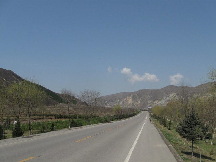
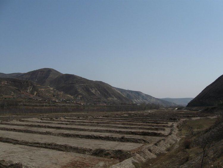
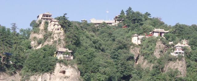
Pingliang (simplified Chinese: 平凉; traditional Chinese: 平涼; pinyin: Píngliàng; literally: "flat cool") is a prefecture-level city in eastern Gansu province, China, bordering Shaanxi province to the south and east and the Ningxia Hui Autonomous Region to the north. Pingliang is well known for the nearby Kongtong Mountains, which are sacred to Taoism and location of the mythical meeting place of the Yellow Emperor and Guangchengzi, an immortal.
Contents
- Map of Pingliang
- Pingliang china
- Pingliang grand mosque china
- Geography
- Landslide disaster
- Transport
- Notable residents
- References
Pingliang china
Pingliang grand mosque china
Geography
Pingliang ranges in latitude from 34° 54' to 35° 46' N and in longitude from 105° 20' to 107° 51' E. Bordering prefecture-level cities are Xianyang (Shaanxi) to the east, Baoji (Shaanxi) and Tianshui to the south, Dingxi and Baiyin to the west, and Guyuan (Ningxia) and Qingyang to the north. It is located on the Loess Plateau with elevations ranging from 890 to 2,957 metres (2,920 to 9,701 ft); the city proper itself is at an altitude of around 1,400 m (4,590 ft).
Due to its altitude of around 1,400 m (4,590 ft), Pingliang has a monsoon-influenced, four-season, humid continental climate (Köppen Dwb), with cold but dry winters, and warm and humid summers. The monthly 24-hour average temperature ranges from −4.6 °C (23.7 °F) in January to 21.1 °C (70.0 °F) in July. Much of the annual rainfall occurs from June to September, and the annual mean temperature is 8.84 °C (47.9 °F). With monthly percent possible sunshine ranging from 46% in September to 65% in December, the city receives 2,381 hours of bright sunshine annually.
Landslide disaster
In July 2010 13 people died in Huating County in a landslide triggered by heavy rains. 2 people survived.