
- location south of Stockinbingal | - elevation 370 m (1,214 ft) - elevation 276 m (906 ft) | |
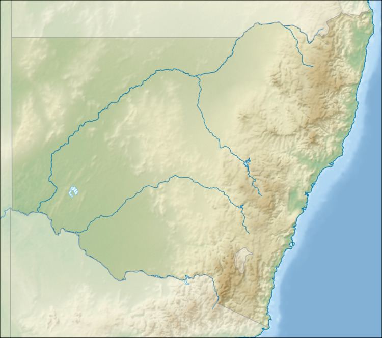 | ||
The Pinchgut Creek, a non–perennial stream that is part of the Murrumbidgee catchment within the Murray–Darling basin, is located in the South West Slopes region of New South Wales, Australia.
Contents
Map of Pinchgut Creek, New South Wales, Australia
Course and features
The Pinchgut Creek (technically a river) rises below Dudauman Range, part of the Great Dividing Range. The creek flows generally southwest before reaching its confluence with the Houlaghans Creek (itself a tributary of the Murrumbidgee River), near the locality of Junee Reefs. The creek descends 94 metres (308 ft) over its 31-kilometre (19 mi) course.
References
Pinchgut Creek Wikipedia(Text) CC BY-SA