
Climate Aw Number of airports 1 | Time zone EAT (UTC+3) Local time Friday 11:27 AM | |
 | ||
Weather 37°C, Wind SE at 19 km/h, 26% Humidity | ||
Location
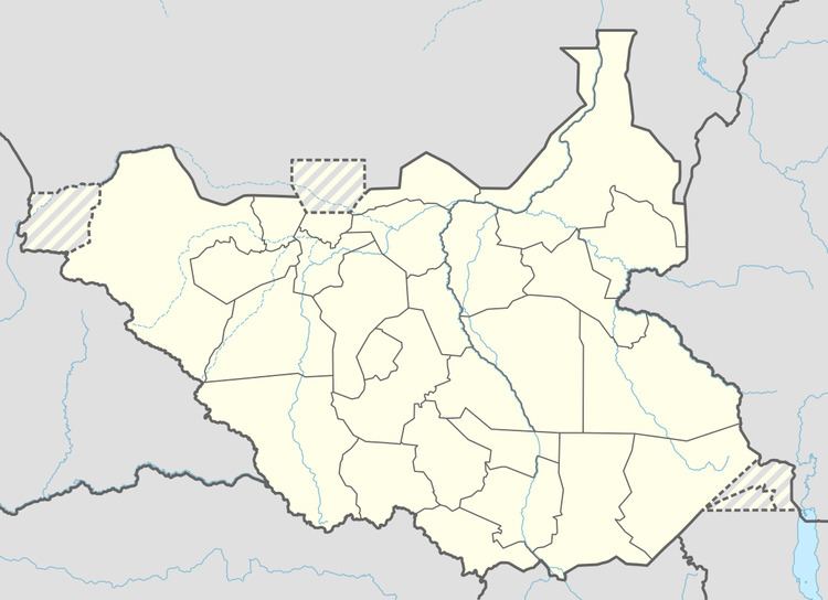
Pibor located in Pibor County, in Boma State, in eastern South Sudan, near the border with Ethiopia. It lies approximately 342 kilometres (213 mi), by road, northeast of Juba, the capital and largest city of the country. After creation of new states, it became part of Boma State.
Overview
Pibor Post is a colonial era outpost built in 1912 by the British and was originally called Fort Bruce. The town serves as the headquarters of Pibor County, one of the constituent counties of the Jonglei State before creation of new states in 2015. The Pibor River, formed by the confluence of several smaller streams, begins its journey at Pibor. The river then flows north, receiving the Akobo River near Akobo. Eventually, after receiving the Gillo River and the Bela River, it joins the Baro River to form the Sobat River.
Transport
A major gravel road leads north to Akobo at the border with Ethiopia. Another major gravel road leads southwest out of Pibor to the town of Bor, the capital of Jonglei State. The town is also served by Pibor Airport.
Population
As of July 2011, it is estimated that the population of Pibor Post is 1,000 people or fewer.
Points of interest
Boma National Park, the largest national park in South Sudan, lies about 65 kilometres (40 mi), by road, east of Pibor Post.