Easiest route Hike | First ascent Unknown Elevation 1,794 m | |
 | ||
Similar Phu Chi Fa, Doi Ang Khang, Doi Tung, Doi Chiang Dao, Phu Ruea | ||
Suansawan view phu thap boek
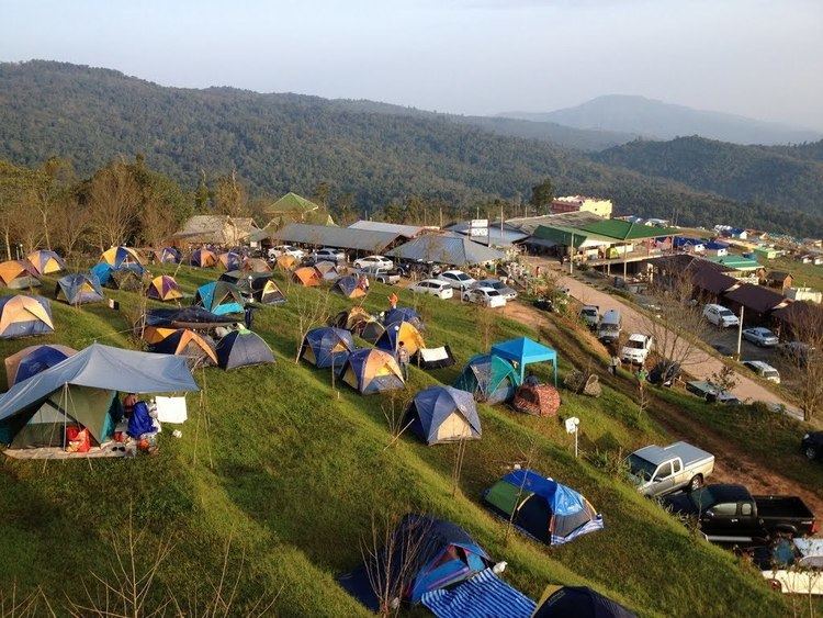
Phu Thap Boek (Thai: ภูทับเบิก), also known as Phu Man Khao, is a 1,794 m high mountain in Phetchabun Province, Thailand near the border with Loei Province. It is in the Lom Kao District.
Contents
- Suansawan view phu thap boek
- Map of Phu Thap Buek Kok Sathon Dan Sai District Loei 42120 Thailand
- phu thap boek phetchabun thailand
- DescriptionEdit
- References
Map of Phu Thap Buek, Kok Sathon, Dan Sai District, Loei 42120, Thailand
phu thap boek phetchabun thailand
DescriptionEdit
This mountain is the highest point of the Phetchabun Mountains and is in the western range of the massif. The peak rises 12 km west of Highway 203, between Loei town and Phetchabun town.
The Phu Hin Rong Kla National Park is in the area around the mountain. The park overlaps the borders of further two provinces, Phitsanulok and Phetchabun. Most of the mountain is covered in mixed evergreen forest and there are also some farms on its slopes where the climate conditions favor cabbage farming. The area around the mountain is part of the Luang Prabang montane rain forests ecoregion.
The mountain, originally home of Hmong people's settlements, has been overrun by allegedly illegal resorts and restaurants.
