
Time zone CET (UTC+1) Population 2,134 (1 Apr 2009) Postal code 4540 | Elevation 397 m (1,302 ft) Area code 07258 Local time Wednesday 8:08 PM | |
 | ||
Weather 14°C, Wind W at 11 km/h, 60% Humidity Points of interest Figurenbildstock hl. Johannes Nepomuk, Wegkapelle, Lichtsäule, Klein Adlwang-Kapelle | ||
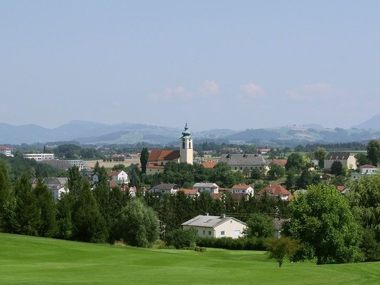
Pfarrkirchen bei Bad Hall is a municipality in the district of Steyr-Land in the Austrian state of Upper Austria.
Contents
Map of Pfarrkirchen bei Bad Hall, Austria
Geography
Pfarrkirchen lies in the Traunviertel. About 10 percent of the municipality is forest, and 77 percent is farmland.
References
Pfarrkirchen bei Bad Hall Wikipedia(Text) CC BY-SA