
County Osijek-Baranja Time zone CET (UTC+1) Population 525 (2011) | Elevation 289 ft (88 m) Local time Thursday 7:24 AM | |
 | ||
Postal code 31322 Baranjsko Petrovo Selo Weather 2°C, Wind S at 8 km/h, 83% Humidity | ||
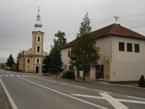
Baranjsko Petrovo Selo (Hungarian: Petárda) is a settlement in the region of Baranja, Croatia. Administratively, it is located in the Petlovac municipality within the Osijek-Baranja County. Population is 525 people.
Contents
- Map of Baranjsko Petrovo Selo Croatia
- History
- Parts of settlement hamlets
- Population
- Austria Hungary 1910 census
- Literature
- References
Map of Baranjsko Petrovo Selo, Croatia
History
It was first mentioned in 1349 and its older name was Petarda. According to Ottoman defters (tax records), the village was also inhabited during Ottoman administration.
Parts of settlement (hamlets)
Bakanga, Baranjsko Petrovo Selo, Repnjak and Žido-Pusta. Former parts are: Greisinger-Pusta, Paleža-Salaš, Vrbak-Pusta and Žido-Lugarna. Till 1991. part of settlement was also Novo Nevesinje which is now independent settlement.
Population
Population data graph 1857.-2011.
Austria-Hungary 1910. census
Literature
References
Baranjsko Petrovo Selo Wikipedia(Text) CC BY-SA