
Time zone IST (UTC+5:30) Population 2,527 (2011) | Area 4.51 km² | |
 | ||
Pesarlanka is a village in Guntur district of the Indian state of Andhra Pradesh. It is located in Bhattiprolu of Tenali revenue division.
Contents
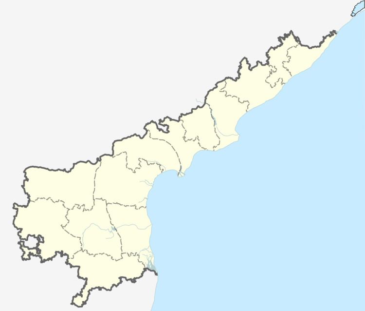
- Map of Pesarlanka Andhra Pradesh
- Geography
- Demographics
- Government and politics
- Economy
- Transport
- References
Map of Pesarlanka, Andhra Pradesh
Geography
Pesarlanka is located at 16.3052°N 80.6182°E / 16.3052; 80.6182. The village is spread over an area of 250 km2 (97 sq mi).
Demographics
As of 2011 census, Pesarlanka had a population of 2,527. The total population constitute, 1,284 males and 1,243 females —a sex ratio of 968 females per 1000 males. 219 children are in the age group of 0–6 years, of which 120 are boys and 99 are girls. The average literacy rate stands at 69.67% with 1,608 literates, significantly higher than the state average of 67.41%.
Government and politics
Pesarlanka gram panchayat is the local self-government of the village.
Economy
Agriculture
Agriculture is the main occupation of the villagers. The main crops cultivated by the farmers are banana plantations, green gram, gourd etc.
Transport
National Highway 214A passes near the village which connects Kattipudi and Ongole.