
Time zone EET (UTC+2) | ||
 | ||
Pervomaiske (Ukrainian: Первомайське, Russian: Первомайское) is an urban-type settlement in Vitovka Raion in the southeast of Mykolaiv Oblast, Ukraine. Population: 2,846 (2015 est.)
Contents
Map of Pervomaysk, Mykolaivs'ka oblast, Ukraine
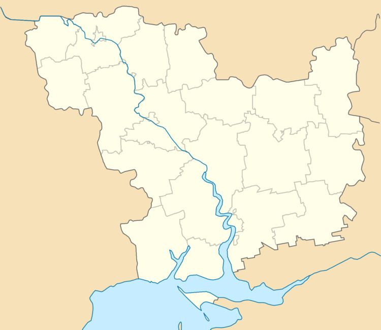
The settlement is located on the right bank of the Bilozerka River. The Dnieper — Inhulets Canal passes just south of the settlement.
History
The settlement was founded in the beginning of the 20th century as the selo of Zasillia to serve the railway station of the same name.
In 1939, Mykolaiv Rural Raion (sometimes referred to as Mykolaiv Raion) was established in Mykolaiv Oblast with the center in the city of Mykolaiv. On 12 September 1944, Mykolaiv Raion was renamed Zhovtneve Raion, and the administrative center of the raion was transferred from Mykolaiv to the town of Zhovtneve. In 1965, Pervomaiske was given urban-type settlement status. On 19 May 2016, Zhovtneve Raion was renamed Vitovka Raion conform to the law prohibiting names of Communist origin.
Transportation
The closest railway station is in Zasillia, 2 kilometres (1.2 mi) southwest of the settlement, on the railway line connecting Mykolaiv and Snihurivka.