
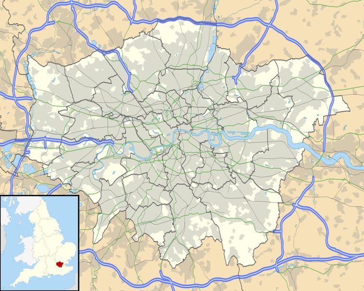
OS grid reference TQ36017254 Sovereign state United Kingdom | London borough Lewisham Dialling code 020 | |
 | ||
Population 15,618 (2011 Census. Ward) | ||
Donkey hot pink at perry vale studio
Perry Vale is a neighbourhood and electoral ward in the London Borough of Lewisham. It is 10.5 km (6.5 mi) southeast of Charing Cross and located near Forest Hill to the east of Forest Hill railway station, where the railway line forms the western boundary. The ward is named after the main road Perry Vale which passes through, this road is part of the B227 road which is called Perry Rise further to the south. The electoral has existed since the London Borough of Lewisham revised its wards and ward boundaries in 1998.
Contents
From 1978 to 1998 a similarly named ward Perry Hill existed. It was smaller and covered some of the same area, but was slightly more to the east. This ward was named after the A212 road which is called Perry Hill as it passes through running from Catford to Sydenham.