
 | ||
Periya is a little township in Kasaragod District, India.
Contents
- Map of Periya Kerala 670644
- Location
- Suburbs and Villages
- Prominent Organizations
- Transportation
- References
Map of Periya, Kerala 670644
Periya is a small village in wayanadu district . The area is located in the boarder of wayanadu district to kannur district. Periya churam part of western ghut is the connection between kannur and periya. The churam ends to a small town called nedumpoil which is a part of kannur district. The main occupation of the villagers are seasonal farming. The main crops are banana, bitter guard. It is a place known for tea estate. Periya peak is the brand name of local tea estate which is wellknown among other districts also
Location
Periya is located between Kasaragod and Kanhangad on National Highway 17. The place has grown in prominence because of a large number of new organizations making Periya their home.
Suburbs and Villages
Prominent Organizations
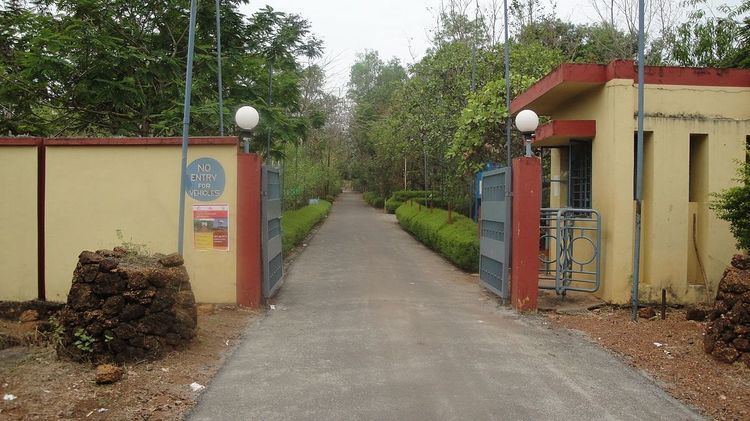
Central University of Kerala is one of the 15 new universities constituted by the Government of India in 2009. The University has a 310 acre campus in Periya.
Navodaya Vidyalaya is a model school run by the Government of India. It is affiliated to CBSE, Newdelhi. Classes are conducted from Grade.VI to Grade XII. It is an autonomous and fully residential facility.
Transportation
Local roads have access to NH.66 which connects to Mangalore in the north and Calicut in the south. The nearest railway station is Kanhangad on Mangalore-Palakkad line. There are airports at Mangalore and Calicut.