Population 298 (2011 census) Postal code 4352 | Postcode(s) 4352 Local time Monday 11:12 AM | |
 | ||
Location 210 km (130 mi) WNW of Brisbane70 km (43 mi) NW of Toowoomba53 km (33 mi) E of Dalby31 km (19 mi) S of Cooyar Weather 27°C, Wind E at 21 km/h, 58% Humidity | ||
Peranga is a small town on the Darling Downs, 70 kilometres (43 mi) north-west of Toowoomba and 55 kilometres (34 mi) north-east of Dalby in Queensland, Australia. At the 2011 census, Peranga and the surrounding area had a population of 298.
Contents
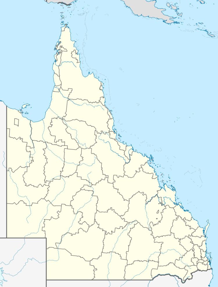
Map of Peranga QLD 4352, Australia
Once the prosperous hub of a rich dairy-producing area, Peranga went into sharp decline after the closure of the Oakey-Cooyar railway line in the mid-1960s. The hotel burnt down in 1967, followed by the school in 1973. Today, the township population numbers about fifty. The Peranga & District Bowls Club, opened in 1955, is still in operation. There is a post office and general store, a one-man police station and a town hall.
Together with Peranga, the surrounding towns of Quinalow (10 km west), Maclagan (13 km north-west) and Kulpi (9 km south) are interdependent, having between them all the amenities of a small town. Kulpi has a hotel and tennis courts; Quinalow a garage, cafe, hotel, rural supplier, school, swimming pool, caravan park, library, tractor dealership, tennis courts, hall, and skate park; and Maclagan has a post office and general store, two wineries, a small museum, a butcher, a kindergarten and several parks.
History
Peranga Post Office opened on 11 January 1913.
