Population 298 (2011 census) Kulpi Mount Darry Local time Sunday 8:17 AM | Postcode(s) 4352 State electorate(s) Nanango Postal code 4352 | |
 | ||
Weather 24°C, Wind NE at 18 km/h, 81% Humidity | ||
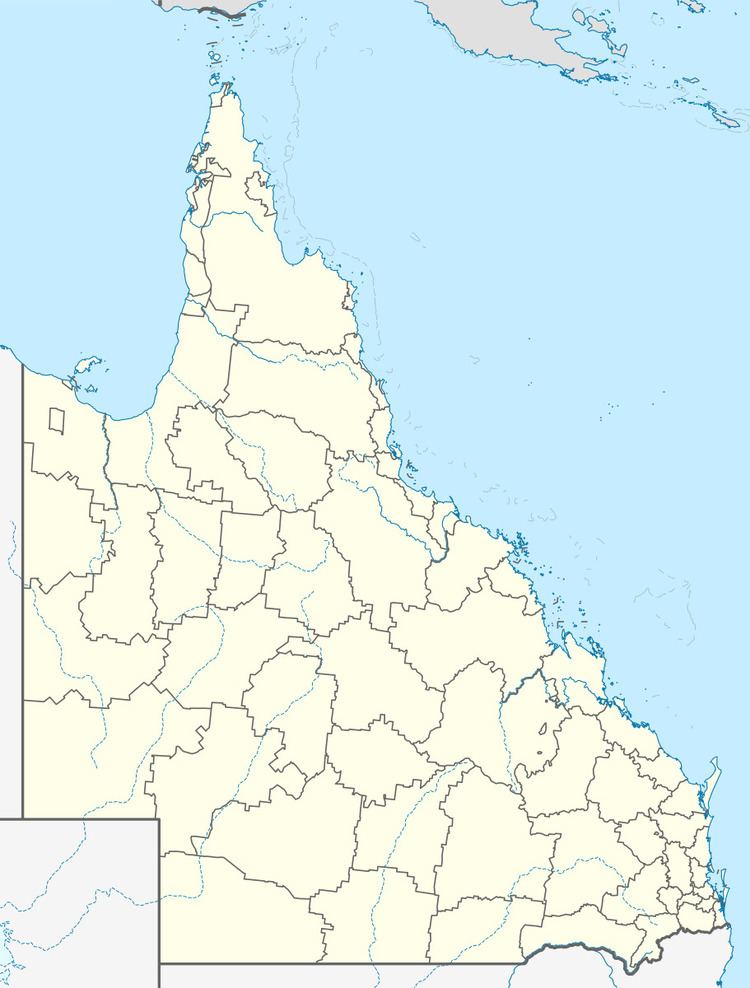
Kulpi is a town in the Darling Downs region of Queensland, Australia. The town is in the Toowoomba local government area, 194 kilometres (121 mi) north west of the state capital, Brisbane. At the 2011 Australian Census Kulpi and surrounds recorded a population of 298.
Contents
Map of Kulpi QLD 4352, Australia
History
The site of the town of Kulpi was part of a selection made by Fred Beckmann from the Rosalie Plains pastoral run. Mr. Beckman built two establishments, the Pioneer Hotel and a store which formed the centre of the town. The settlement was originally known as Rosalie, however the name was soon changed to Kulpi, to avoid confusion with the Rosalie Plains Homestead, which was a small town in itself. The name Kulpi came from an aboriginal word meaning "charred logs".
Facilities
Library services in Kulpi are provided by the Toowoomba Regional Council's mobile library service. The van visits Kulpi State School on the 1st and 3rd Tuesday of each month.
Kulpi State School opened in August 1915.
