Population 411 (2011 census) Postal code 4403 | Postcode(s) 4403 State electorate(s) Nanango Local time Wednesday 2:09 AM | |
 | ||
Weather 21°C, Wind E at 16 km/h, 96% Humidity | ||
Quinalow is a town in the Darling Downs region of Queensland, Australia. The town is located in the Toowoomba Region local government area and on the bank of Myall Creek, 201 kilometres (125 mi) north west of the state capital, Brisbane and 76 kilometres (47 mi) north west of the regional centre of Toowoomba. In the 2011 census, Quinalow had a population of 411.
Contents
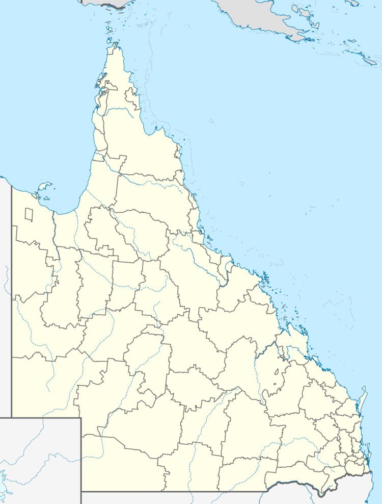
Map of Quinalow QLD 4403, Australia
Quinalow was affected by the 2010–2011 Queensland floods. Rising floodwaters isolated the town, surrounding the Quinalow pub. Myall Creek was not thought to have risen as high as it did in the 1981 flood.
Library
The town's library is located at Daly Street
Quinalow library was built and completed on 26 February 1901 at a cost of 122 pound 17 shillings. It was built for the Quinalow State School as a classroom. The building was shifted to the current site at Daly Street in August 1979. The building was used as the preschool until June 1990 when the new preschool building was finished at Quinalow School. The building was then opened in March 1984 as Quinalow Library.
