
Population 273 (2011) Sovereign state United Kingdom Local time Sunday 3:36 PM | OS grid reference ST755315 | |
 | ||
Weather 16°C, Wind E at 26 km/h, 51% Humidity | ||
Penselwood is a village and civil parish in the English county of Somerset. It is located 4 miles (6.4 km) north east of Wincanton, 4 miles (6.4 km) south east of Bruton, 4 miles (6.4 km) west of Mere, and 5 miles (8.0 km) north west of Gillingham. The south-east of the parish borders Zeals and Stourhead in Wiltshire, and Bourton in Dorset. In 1991 the parish occupied 523 hectares (1,292 acres).
Contents
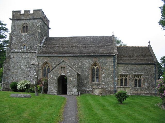
Map of Penselwood, Wincanton, UK
It is the start of the Leland trail a 28 miles (45.1 km) footpath which runs from King Alfred's Tower to Ham Hill Country Park.
Name
The medieval form of the name was "Penn in Selwood", where pen (Brittonic for "head") probably referred to a hill and Selwood was the Selwood Forest which once surrounded the area. Ford associated nearby Ilchester with the Cair Pensa vel Coyt listed among the 28 cities of Britain by the History of the Britons on the basis that it should be read as an Old Welsh form of 'Penselwood' (coit being Welsh for "forest"), although others view it as three separate words: Pensa or Coyt. Bishop Ussher believed the listing referred to Exeter instead.
History
A couple of miles north of the village amidst the trees is the remains Kenwalch's Castle, an Iron Age hill fort which may be the location of the Battle of Peonnum in 658, mentioned in the Anglo-Saxon Chronicle. The English also made a stand here against the Viking invader Cnut the Great in 1016.
Pen Pits quern quarries north of Combe Bottom are a series of bowl shaped pits which were used as stone quarries during the Iron Age, Romano-British and Middle Ages.
The parish of Penselwood was part of the Norton Ferris Hundred.
Just outside the village is the site of the medieval motte and bailey castle known as Ballands Castle.
Governance
The parish council has responsibility for local issues, including setting an annual precept (local rate) to cover the council’s operating costs and producing annual accounts for public scrutiny. The parish council evaluates local planning applications and works with the local police, district council officers, and neighbourhood watch groups on matters of crime, security, and traffic. The parish council's role also includes initiating projects for the maintenance and repair of parish facilities, as well as consulting with the district council on the maintenance, repair, and improvement of highways, drainage, footpaths, public transport, and street cleaning. Conservation matters (including trees and listed buildings) and environmental issues are also the responsibility of the council.
The village falls within the Non-metropolitan district of South Somerset, which was formed on 1 April 1974 under the Local Government Act 1972, having previously been part of Wincanton Rural District. The district council is responsible for local planning and building control, local roads, council housing, environmental health, markets and fairs, refuse collection and recycling, cemeteries and crematoria, leisure services, parks, and tourism.
Somerset County Council is responsible for running the largest and most expensive local services such as education, social services, libraries, main roads, public transport, policing and fire services, trading standards, waste disposal and strategic planning.
It is also part of a county constituency represented in the House of Commons of the Parliament of the United Kingdom. It elects one Member of Parliament (MP) by the first past the post system of election, and part of the South West England constituency of the European Parliament which elects seven MEPs using the d'Hondt method of party-list proportional representation.
Geography
Moldrums Ground includes a dry woodland surrounding unimproved grassland. Ponds on the site provide a habitat for northern crested newt. It is a local nature reserve.
Media
Penselwood is the setting for James Long's books, Ferney and its sequel, "The Lives She Left Behind", both of which mention many of the historical events that took place in or near the village.