
Sovereign state United Kingdom Region South West England Created 1 April 1974 Area 959 km² Ceremonial county Somerset | Constituent country England Admin HQ Yeovil Time zone GMT (UTC0) Local time Tuesday 6:04 AM University Yeovil College | |
 | ||
Weather 5°C, Wind E at 8 km/h, 100% Humidity Points of interest Montacute House, Fleet Air Arm Museum, Barrington Court, Haynes International Motor Mu, Muchelney Abbey | ||
South Somerset is a local government district in Somerset, England.
Contents
- Map of South Somerset District UK
- Towns
- Wards
- Major roads
- Rail stations
- Heritage Railways
- Education
- References
Map of South Somerset District, UK
The South Somerset district covers and area of 370 square miles (958 km2) ranging from the borders with Devon, Wiltshire and Dorset to the edge of the Somerset Levels. It has a population of approximately 158,000. The administrative centre of the district is Yeovil.
The district was formed on 1 April 1974, and was originally known as Yeovil, adopting its present name in 1985. It was formed by the merger of the municipal boroughs of Chard, Yeovil, along with Crewkerne and Ilminster urban districts and the Chard Rural District, Langport Rural District, Wincanton Rural District and Yeovil Rural District.
The Council covers the whole of the Yeovil constituency, and part of Somerton and Frome.
It is currently Liberal Democrat controlled, and has Beacon Council status.
Towns
Its main towns include:
Wards
The electoral wards include: Camelot and Wessex.
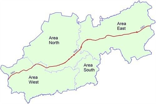
Major roads
Rail stations
Heritage Railways
Education
County schools (those which are not independent) in the five non-metropolitan districts of the county are operated by Somerset County Council.
For a full list of schools see: List of schools in Somerset