
Address Benton, PA 17814, USA | Created after 1930 Area 200.4 km² | |
 | ||
Similar Robin Real Estate, State Game Lands Nu, Ricketts Glen State Park, Sullivan County Prothonot, State Game Lands 134 | ||
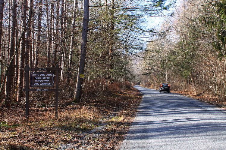
Pennsylvania State Game Lands Number 13 are Pennsylvania State Game Lands in Columbia County and Sullivan County, in Pennsylvania, in the United States. They have an area of 49,529 acres. The game lands are mountainous and contain streams such as West Branch Fishing Creek and its tributaries. The main game animals in the area include bear, deer, grouse, turkey, and waterfowl. The game lands are adjacent to Pennsylvania State Game Lands Number 57.
Contents
Geography
Pennsylvania State Game Lands Number 13 have an area of 49,529 acres. It and the adjacent Pennsylvania State Game Lands Number 57 together comprise an area of nearly 100,000 acres in four counties, making them the largest tract of continuous state game lands in Pennsylvania. State Game Lands Number 13 is itself the largest single state game land in Pennsylvania. The game lands are located near Sonestown. They are located mostly in Sullivan County, but a small area is in Columbia County. The game lands are in the Endless Mountains.
Pennsylvania State Game Lands Number 13 are mostly forested and mountainous, though there are a number of food plots. Several impoundments are located also within its boundaries. North Mountain, Huckleberry Mountain, and Roundtop are in the game lands and the highest mountains are over 2,200 feet (670 m) above sea level. The game land's northern reaches are somewhat flatter than its southern reaches, with rolling hills instead of mountains. West Branch Fishing Creek and many of its tributaries also flow through it, as are some tributaries of Little Fishing Creek. There are several minor roads passing through the game lands. Numerous old forest roads and grades are in the area.
In the western part of Pennsylvania State Game Lands Number 13, West Branch Fishing Creek cuts a gorge between a plateau and the Allegheny Front. Numerous wetlands, such as ponds and swamps are on the top of the plateau. In the eastern section of the game lands, streams such as Heberly Run and Sullivan Branch have created rugged and steep glens with many waterfalls. There are more than 20 waterfalls in the game lands.
Pennsylvania Route 487 passes near a part of Pennsylvania State Game Lands Number 13.
Biology
Common game animals in Pennsylvania State Game Lands Number 13 include bear, deer, grouse, turkey, and waterfowl. Large numbers of deer inhabit the area.
History and recreation
There are 31.3 miles (50.4 km) of hiking trails in Pennsylvania State Game Lands Number 13. 7 miles (11 km) of designated routes in the game lands are on Fishing Creek Road and head to a fire tower. 5 miles (8.0 km) are on Lee Road, 6 miles (9.7 km) are on Cherry Ridge Road, 6 miles (9.7 km) are on Grassy Hollow Road, and 7.3 miles (11.7 km) are on Glass Creek/Masonite Road.
Pennsylvania State Game Lands Number 13 are less of a popular hiking destination than the nearby Ricketts Glen State Park.
Bicycling, horseback riding, and snowmobiling can also be done in Pennsylvania State Game Lands Number 13.
A large logging town was historically on the border of what is now Pennsylvania State Game Lands Number 13. The game lands were planned as early as 1930. An infrared deer survey was planned in 2006. Twenty nest boxes were set up in the area in July 2008.