
Postcode(s) 5121 Federal division Division of Wakefield | Postal code 5121 | |
 | ||
State electorate(s) electoral district of Taylor | ||
Penfield Gardens is a northern suburb of Adelaide, South Australia in the City of Playford. It is in the urban fringe on the Adelaide Plains, with major industries including market gardening and harness racing horse training.
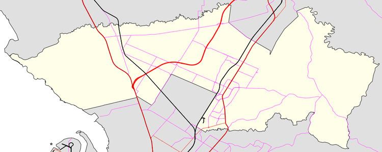
Map of Penfield Gardens SA 5121, Australia
Penfield Gardens extends from the south (left) bank of the Gawler River downstream of Angle Vale to the Max Fatchen Expressway. The suburb was named in 1983, with the boundaries further adjusted in 2011 to avoid suburbs being divided by the Max Fatchen Expressway.
References
Penfield Gardens, South Australia Wikipedia(Text) CC BY-SA