
Country United States ZIP code 56649 Elevation 340 m | Time zone Central (CST) (UTC-6) Area code(s) 218 Local time Saturday 7:34 PM | |
 | ||
Weather 3°C, Wind SE at 11 km/h, 59% Humidity | ||
Pelland is an unincorporated community in Koochiching County, Minnesota, United States; located along the Rainy River.
Contents
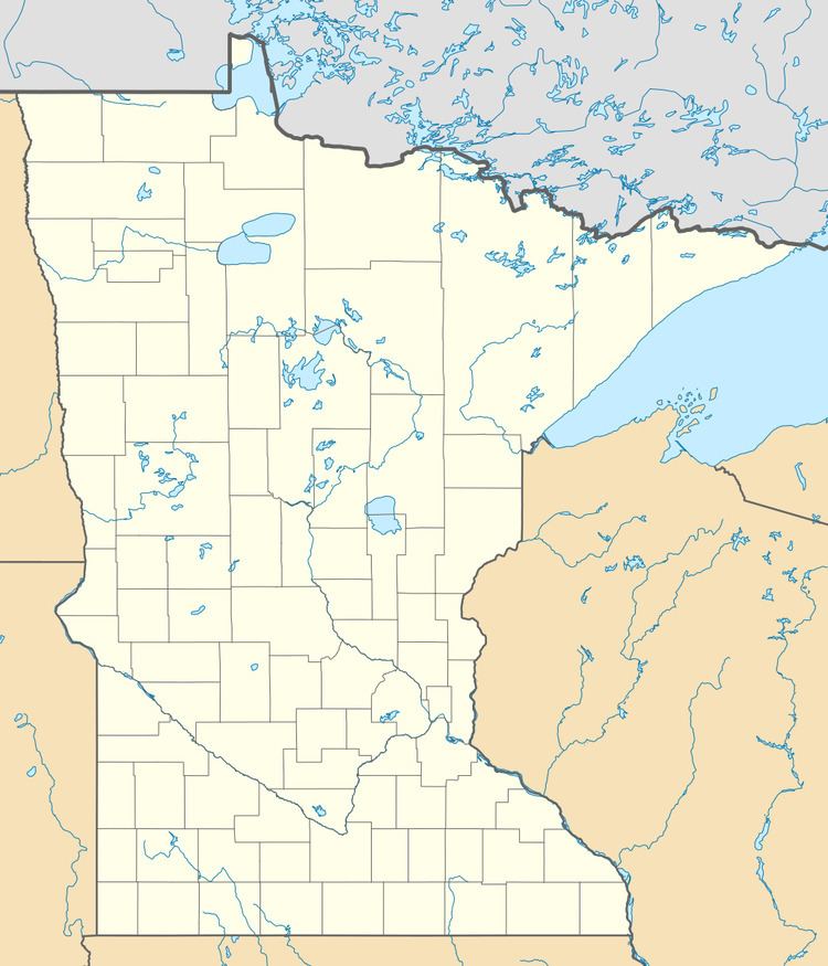
Map of Pelland, MN 56649, USA
The community is located southwest of International Falls at the junction of U.S. Highway 71 (U.S. 71) and State Highway 11 (MN 11).
Pelland is located within Rainy Lake Unorganized Territory.
Nearby places include International Falls, Littlefork, and Loman. Pelland is located 11 miles southwest of International Falls; and 8 miles north of Littlefork. ZIP codes 56649 (International Falls), 56653 (Littlefork), and 56654 (Loman) all meet near Pelland.
Pelland is also known locally as Pelland Junction or the "Y". The Rainy River, the Big Fork River, and the Little Fork River are all in the vicinity.
Community
Pelland is home to a public water access area for fishing. Local businesses include a convenience store, greenhouse, and a bar.
History
A post office called Pelland was established in 1902, and remained in operation until 1918. Joseph Pelland, the first postmaster, gave the community his name.