- elevation 10 m (33 ft) Area 2,075 km² | Founded 1957 | |
 | ||
Points of interest Lago de Oviedo, Baoruco Mountain Range, Playa Mongó, Playa Larga, Playa de Mosquea | ||
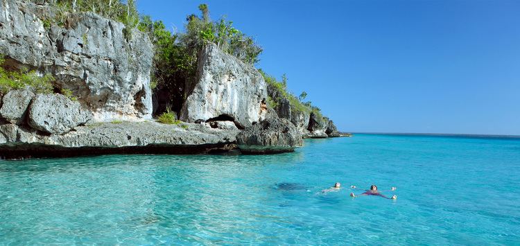
Pedernales (from Spanish, meaning 'Flints'; [peðerˈnales]) is the southernmost province of the Dominican Republic, including the offshore island of Isla Beata. It was split from Barahona in 1957. Of its 2,074.53 km², 1374 km² belong to the Jaragua National Park.
Contents
Map of Pedernales Province, Dominican Republic
According to the UNFPA, in 2012 thirty percent of the province’s population was of Haitian origin. As of 2015, it is estimated that Haitians are roughly 50% of the population.
Municipalities and municipal districts
The province as of June 20, 2006 is divided into the following municipalities (municipios) and municipal districts (distrito municipal - M.D.) within them:
The following is a sortable table of the municipalities and municipal districts with population figures as of the 2012 census. Urban population are those living in the seats (cabeceras literally heads) of municipalities or of municipal districts. Rural population are those living in the districts (Secciones literally sections) and neighborhoods (Parajes literally places) outside of them.
For comparison with the municipalities and municipal districts of other provinces see the list of municipalities and municipal districts of the Dominican Republic.
