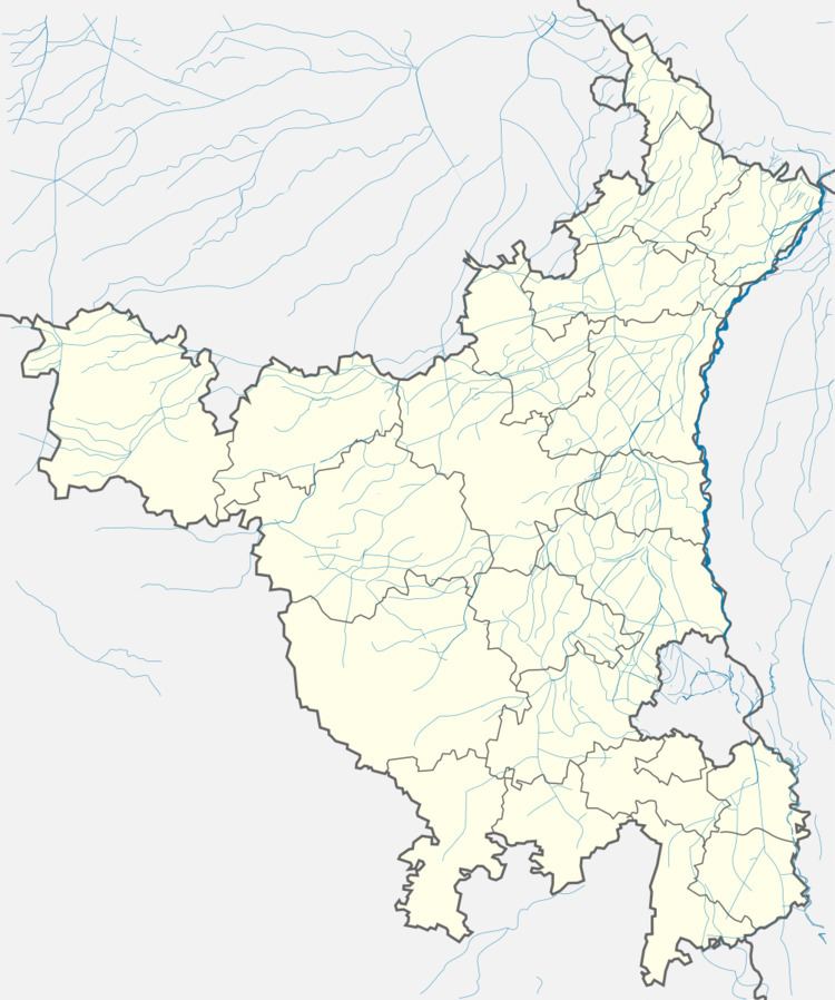
District Gurgaon PIN 122413 Elevation 240 m ISO 3166 code ISO 3166-2:IN | Time zone IST (UTC+5:30) Telephone code 0124- Population 4,135 (2001) | |
 | ||
Patherheri (also known as Pathrari) is a village in Gurgaon district in the Indian state of Haryana. It is said that Patherheri was formed in the campaign of British Government. This village is situated 4 kilometres from Bilaspur from the NH-8 on Bilaspur-Tauru Road.
Contents
Geography
Patherheri is located at 28.32° N 76.78° E. It has an average elevation of 240 metres (787 feet).
Demography
As of 2001 India census, Patherheri had a population of around 4135. Males constitute 51% of the population and females 49%. Patherheri has an average literacy rate of 57%, lower than the national average of 59.5%: male literacy is 65%, and female literacy is 48%. In Patherheri, 14% of the population is under 6 years of age.
Economy
Patherheri's economy is dominated by agriculture. This village progressed mainly due to Gurgaon which was highly influenced by the IT revolution in India. In agriculture the main crops are wheat, grain(jwar, bajra), mustard.
