
Country India Headquarters Gurgaon Area 1,253 km² | State Haryana Website Official website Local time Sunday 7:53 AM | |
 | ||
Tehsils 1. Gurgaon, 2. Sohna, 3. Pataudi, 4. Farukh Nagar and 5. Manesar Weather 13°C, Wind W at 0 km/h, 90% Humidity Colleges and Universities The Northcap University, Management Development Institute, Ansal University, National Brain Research, Gurgaon Institute of Technolo | ||
Gurgaon district is one of the 21 districts of Haryana state in northern India. Gurgaon city is the administrative headquarters of the district. The population is 1,660,289 which includes revenue tehsils which are now part of Mewat district.
Contents
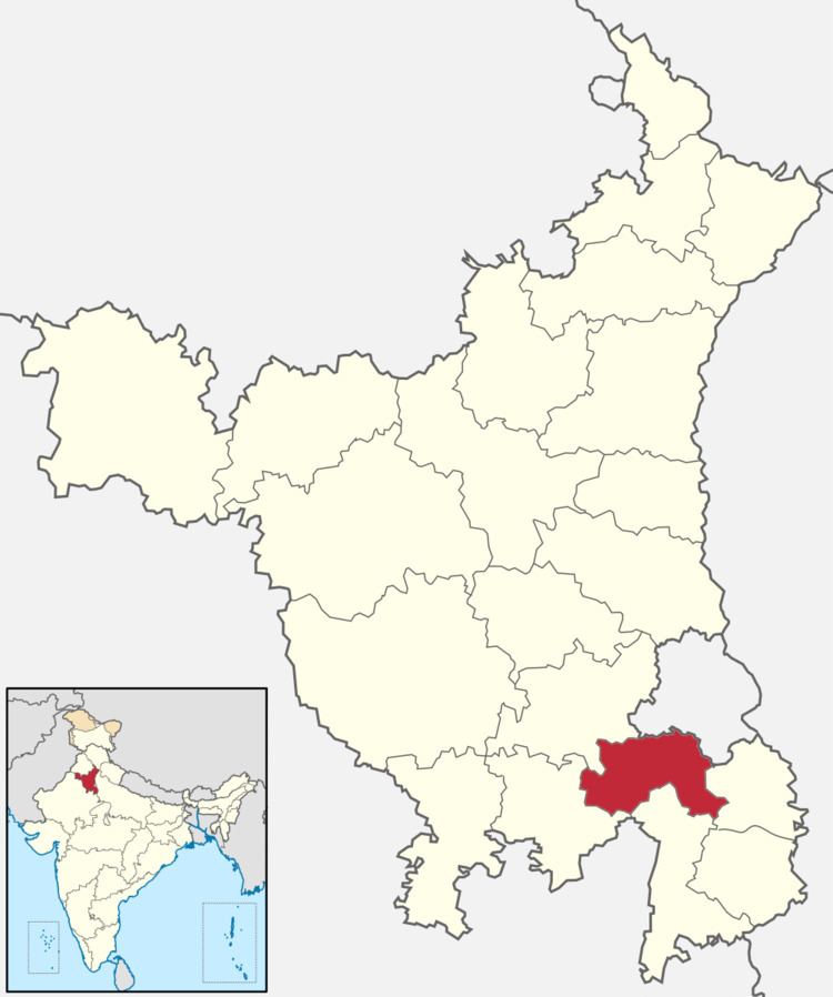
Map of Gurgaon, Haryana
It is one of the southern districts of Haryana. On its north, it is bounded by the district of Jhajjar and the Union Territory of Delhi. Faridabad district lies to its east. On its south, lie the districts of Palwal and Mewat. To its west lies Rewari district.
Geography
This district contains many small hill ranges which are part of the Aravali and Mangar Bani ranges.
Divisions
The district is divided into 3 sub-divisions: Gurgaon North, Gurgaon South and Pataudi, which are further divided into five revenue tehsils, namely, Gurgaon, Sohna, Pataudi, Farukh Nagar, Manesar. It also comprises four rural development blocks, Pataudi, Sohna, Gurgaon and Farrukhnagar.
There are 4 Haryana Vidhan Sabha constituencies located in this district: Pataudi, Badshahpur, Gurgaon and Sohna. All of these are part of Gurgaon Lok Sabha constituency.
Industries
A large number of industries and offices have been established in Gurgaon city, Manesar and Sohna Road. Cyber City on NH8 is a popular location where most Multi National Companies (MNC) have taken large office spaces. While many other modern commercial clusters have come up on Udyog Vihar, Manesar, Rajiv Chowk, Sohna Road, Golf Course Road etc.
Demographics
According to the 2011 census Gurgaon district has a population of 1,514,085, roughly equal to the nation of Gabon or the US state of Hawaii. This gives it a ranking of 328th in India (out of a total of 640). The district has a population density of 1,241 inhabitants per square kilometre (3,210/sq mi) . Its population growth rate over the decade 2001-2011 was 73.93%. Gurgaon has a sex ratio of 853 females for every 1000 males, and a literacy rate of 84.4%.