
 | ||
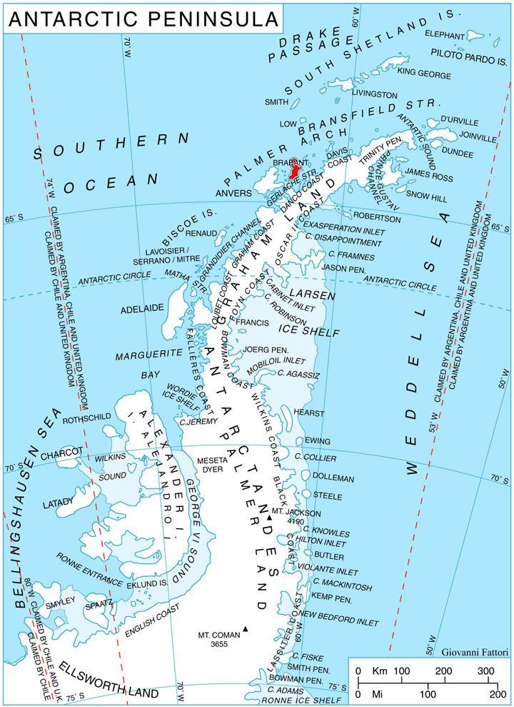
Paré Glacier (64°8′S 62°13′W) is a glacier 7 nautical miles (13 km) long and 1 nautical mile (1.9 km) wide, draining the northeast slopes of Stribog Mountains, and flowing east and then northeast into the head of Bouquet Bay on the northeast side of Brabant Island in the Palmer Archipelago, Antarctica.
Contents
Map of Pare Glacier, Antarctica
The feature was shown on an Argentine government chart in 1953, but not named. Photographed by Hunting Aerosurveys Ltd in 1956-57, and mapped from these photos in 1959. Named by the United Kingdom Antarctic Place-Names Committee (UK-APC) for Ambroise Paré (1510–1590), French surgeon who first taught the importance of clean wound dressings, improved operative techniques and fracture treatment.
Maps
This article incorporates public domain material from the United States Geological Survey document "Pare Glacier" (content from the Geographic Names Information System).