
Country Nepal Website www.ddcparbat.gov.np | Time zone NPT (UTC+5:45) Area 494 km² | |
 | ||
Zone Dhaulagiri Zone (धौलागिरी) Region Western Development Region, Nepal | ||
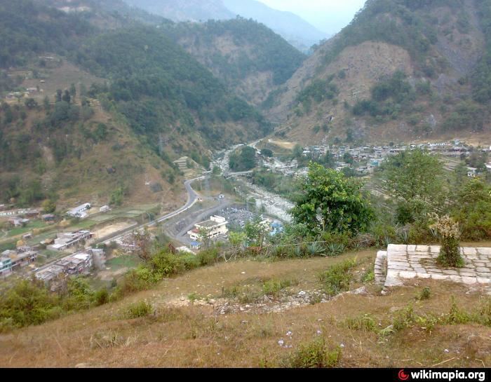
Parbat District (Nepali: पर्वत जिल्ला Listen , is a hilly area of Nepal. It is a part of Province No. 4 and one of the seventy-five districts of Nepal, a landlocked country of South Asia. The district, with Kusma as its district headquarters, covers an area of 494 km² and has a population (2001) of 157,826. It is the fourth smallest district of Nepal with 47 VDCs currently (before Kushma Municipality was formed, total VDCs remained 55.). It is mainly famous for the Gupteshwar Cave, which is visited by thousands of pilgrims during Shivaratri. Patheshwari Temple is the most famous temple of Kushma located at Katuwa Chaupari of Kushma-13. Patheshwori Mandir has lots of sub-temples inside like Ram Janaki Mandir, Bhagwati, Devi, Hanuman, and others. Alapeshwar cave is also the famous cave of this district. It is also noted for the Dahere Deurali Temple, which is visited by thousands of pilgrims during Balachaturdanshai.The bridge in the high place also lies in this district.Recently the modi hydro project of 10 M.W. has been constructed. Here is many popular places such as Dhairing. From dhairing you can see view of most of mountain of this side.Parbat is a tourism . Parbat's biggest playground is lies in Phalewas village named majhi chour and Indra chour .
Contents
- Map of Parbat Nepal
- Geography and Climate
- Village development committees VDCs and municipalities
- References
Map of Parbat, Nepal
Geography and Climate
Parbat district is a beautiful district with diversified geographical features. It extends from 280 00’ 19” N to 280 23’ 59” N latitude and 830 33’ 40” E to 830 49’ 30” E longitude