
Local time Tuesday 10:52 PM | Zone Dhawalagiri Zone Time zone Nepal Time (UTC+5:45) Area code 067 | |
 | ||
Weather 11°C, Wind NE at 0 km/h, 59% Humidity | ||
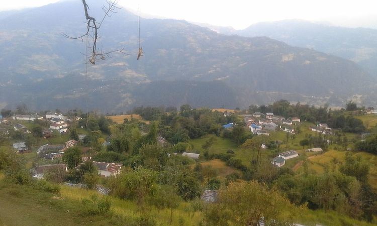
Bajung is a village development committee in Parbat District in the Dhawalagiri Zone of Western Development Region, Nepal.It is surrounded by Deupurkot in the north-east, Tilahar in south-east, Durlung in South-west and Kyang in North-west. It is popularly said to be extended from the top of Maidan, a hill-top with historical identity to the basin of Modi River. At the time of the 2011 Nepal census it had a population of 4228 people living in 1,076 individual households.
Map of Bajung 33400, Nepal
Like all VDCs of Nepal, it comprises nine wards:
References
Bajung Wikipedia(Text) CC BY-SA