Country Burma Elevation 2,785 ft (849 m) Population 22,950 (2014) | Time zone MMT (UTC+6:30) | |
 | ||
Pang Hseng, also known as Pan Saing, Kyu Koke and Kyu-hkök, is a town in Mu Se Township, Mu Se District, northern Shan State.
Contents
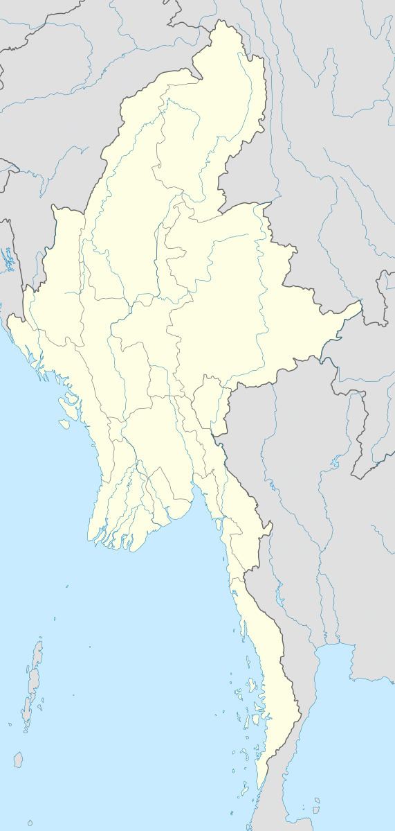
Map of Pang Hseng, Myanmar (Burma)
Geography
Pang Hseng lies 25 km west of Mong Ko (Monekoe) by the border with China, the nearest town being Wandingzhen (Wanting) to the north across the river. There is a border checkpoint in the town.
References
Pang Hseng Wikipedia(Text) CC BY-SA
