
Country Burma Time zone MMT (UTC+6:30) | Elevation 450 m | |
 | ||
Weather 27°C, Wind W at 11 km/h, 32% Humidity | ||
2013 hong kong vlog 2 village life langham place mong kok bus journeys
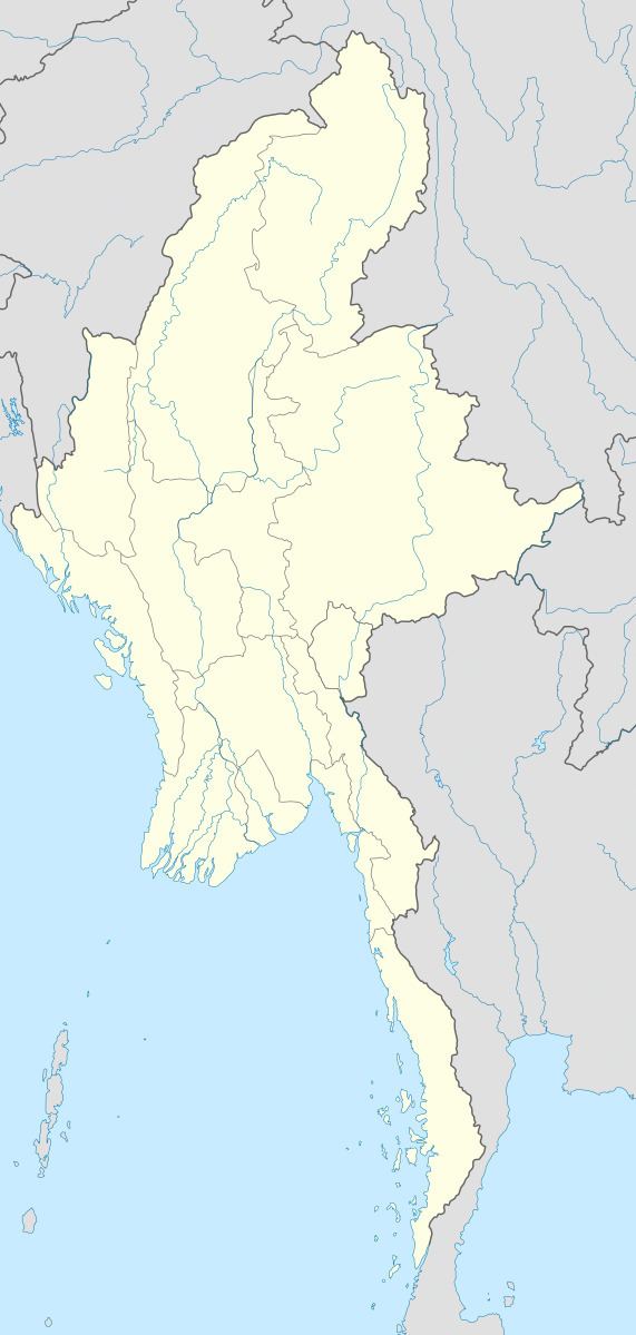
Mong Ko, Möng Ko, Monekoe, Mān Kang or Man Kan, also known as Man Guo and as Panglong is a village in Mu Se Township, Mu Se District, northern Shan State.
Contents
- 2013 hong kong vlog 2 village life langham place mong kok bus journeys
- Hong kong night walk in mong kok markets street food musicians magicians and more
- Geography
- History
- References
Like many places in that hapless region, Mong Ko has been a drug-producing and trading point where 'walking down the main road one can smell the chemicals wafting from the houses'.
Hong kong night walk in mong kok markets street food musicians magicians and more
Geography
Monekoe lies by the border with China, 25 km east of Pang Hseng (Kyu Koke). There is a border checkpoint in the town.
History
The Communist Party of Burma (CPB) entered Shan State on New Year Day 1968, captured Mong Ko, and established the first war zone ‘303’ of the CPB North-East Command (NEC). This was quickly followed by ‘404’ in Kokang substate winning over the local warlord Pheung Kya-shin. For 20 years Pheung controlled Kokang as a member of the Communist Party of Burma. In 1989, however, the CPB split up and Pheung established his own army, the National Democratic Alliance Army, with which he mutinied and captured Mong Ko town. After this he signed a cease-fire with the military junta, which allowed the Kokang army to retain their weapons, and established an autonomous Kokang region as the "First Special Region" of Myanmar.